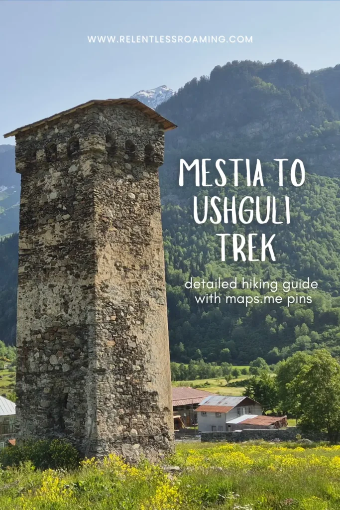
Mestia to Ushguli Trek: The Complete Hiking Guide with Map

Georgia’s most famous multi-day hike through its most beautiful region is tough but absolutely worth the sore legs and feet.
The Mestia to Ushguli trek takes you through small and isolated villages, over mountain passes, across ferocious rivers, and alongside enormous glaciers.
It is a hell of an adventure but it does hurt; you’ll be cursing yourself for signing up for it.
But if you’ve searched the internet for info on this multi-day hike, well, you’re a lover of type 2 fun just like us anyway, right?!
We trekked from Mestia to Ushguli in mid-June 2025 and absolutely loved it, like, 85% of the hike anyway.
We tried to find info online about the route but there didn’t seem to be much that was actually up-to-date. The main blog instructions that we did end up following turned out to be pretty unreliable to say the least.
So we decided to write our own post with answers to all the questions that we had before we hiked, the route with Maps.me locations so it’s less easy to get lost, and our top tips after having completed the hike as newbies to the multi-day trekking game.
Disclaimer: This blog post may contain affiliate links, which means that if you click and purchase through a link, we may earn a small commission at no extra cost to you. And if you do choose to do this, THANK YOU so much for supporting us! It means that we can continue to create content for you guys. Full disclaimer here.
Rough Trekking Route
Route Description
Before you head off on the hike, download the Maps.me app on to your phone and the Maps.me Georgia map to allow you to see the locations linked below.
It will help you to check you’re on track and you can save spots along the way that you don’t want to miss. Maps.me links can only be opened on mobile devices with the app downloaded, not on a regular website on desktop.
To see the route that we hiked, Download, extract and then open the below file in Maps.me!
Check Out Our Hiking Vlog Series
1. Mestia to Zhabeshi
*All stats mentioned below are measured on our own devices.
The trailhead starts here just beyond Dissident Cafe across the bridge. You’ll see the official yellow signposts for Zhabeshi with times and distances marked.
Take a left and head up the hill keeping to the higher path on the right that then turns into a dirt path. You’ll see Paradiso Mestia guesthouse on your left followed by some cabins.
Just after the cabins, the road splits in two. Keep following the main road marked as Revaz Margiani Street on Maps.me. It’s all a bit dusty and not the most scenic, but just stick with it for maybe twenty minutes and it’ll get nice and green and pretty.
You’ll see your next set of yellow signposts here.
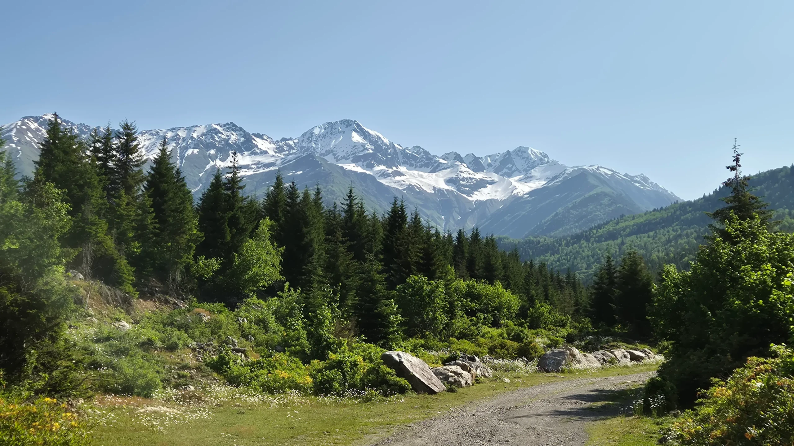

Keep walking straight until the view opens out and you’ll see mighty Mount Ushba to your left.
Here, you’ll find another signpost heading to the right up a pretty steep and rocky path. It doesn’t last too long – maybe fifteen minutes – but make sure you turn round at the top to get your last sight of Mestia!
It levels out a bit now and is a pleasant walk among trees and meadows of wild flowers and you might bump into a few friendly cows.

Follow the path until you hit the next signposts here. Head to the right and up into the forest on a very steep path.
Now this section is SWEATY. It’s maybe 20/30 minutes until it levels out, so stick with it. When you reach the top, take the path to the right and head towards this spot here.
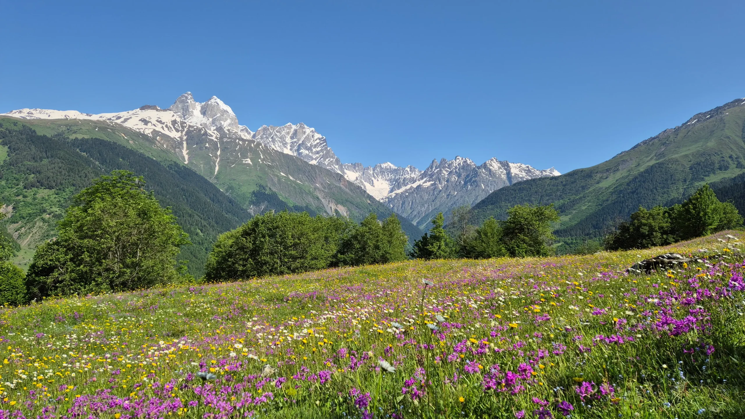
The view to your left over the meadow and up to the mountain is stunning! Keep walking straight instead of towards the mountain and follow the orange dashed route on Maps.me down to here (another beautiful viewpoint!).
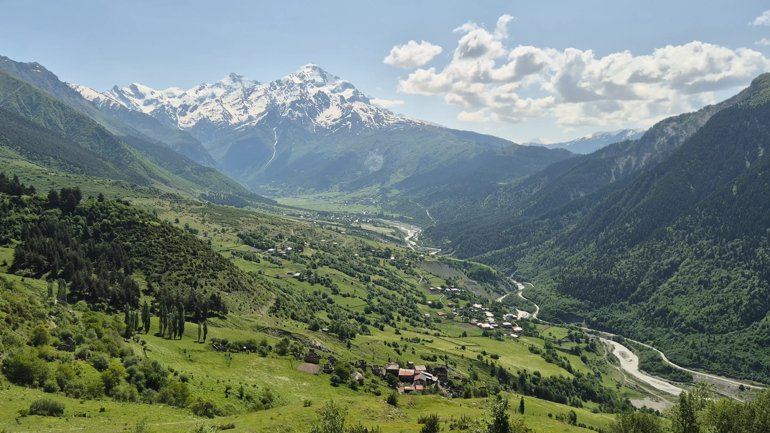

Take the route down into the valley (there’s no more up for today!)
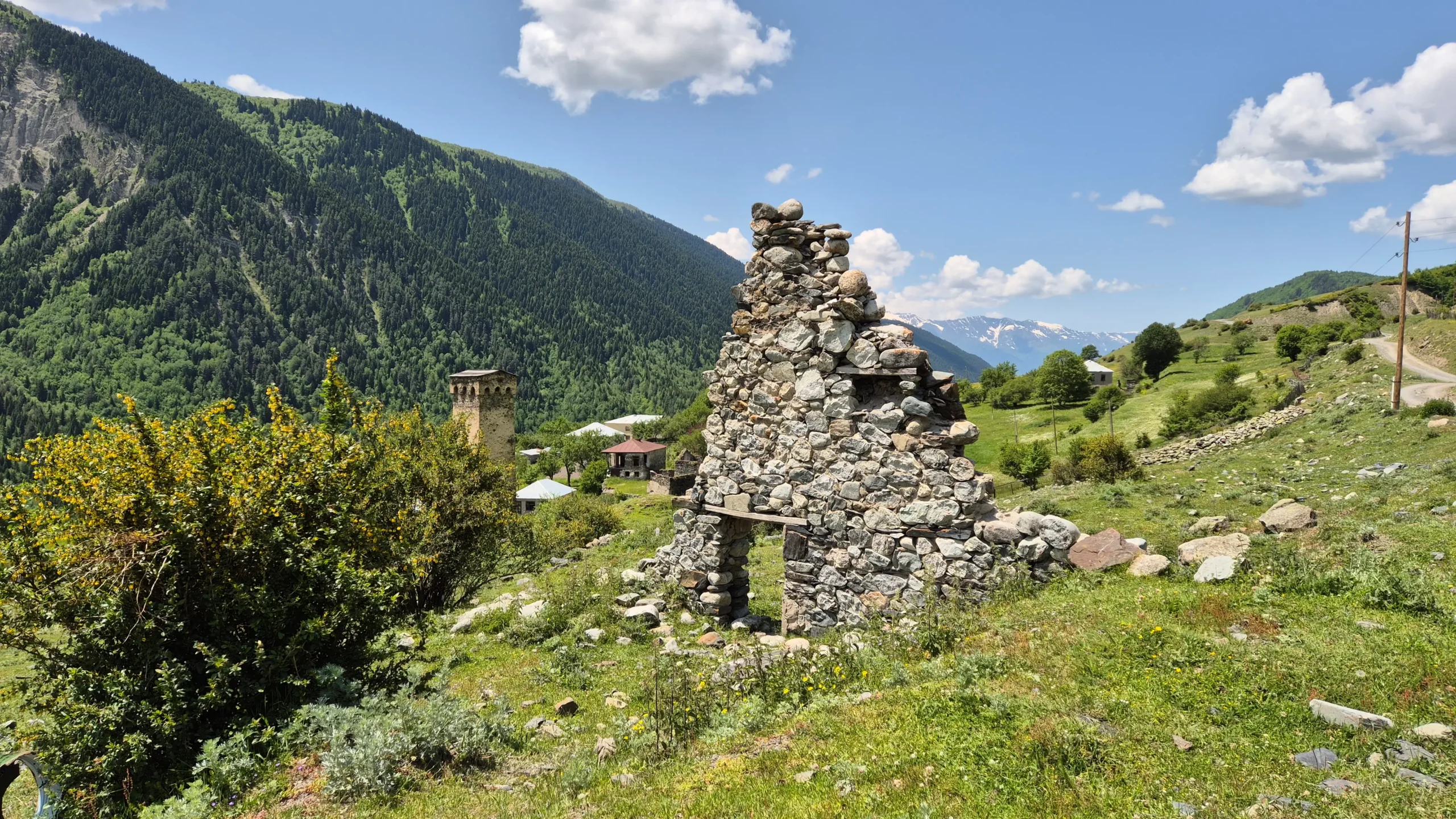
There are several routes that all end up in more or less the same place – Mulakhi/Lakhiri villages. We took the lowest path heading down to here which ended up with a bit of scrambling up a hillside because of a small landslide that had made the path not easily accessible, so I probably wouldn’t recommend this section.
So, if we were to do it again, we would take the route through these points here or here.

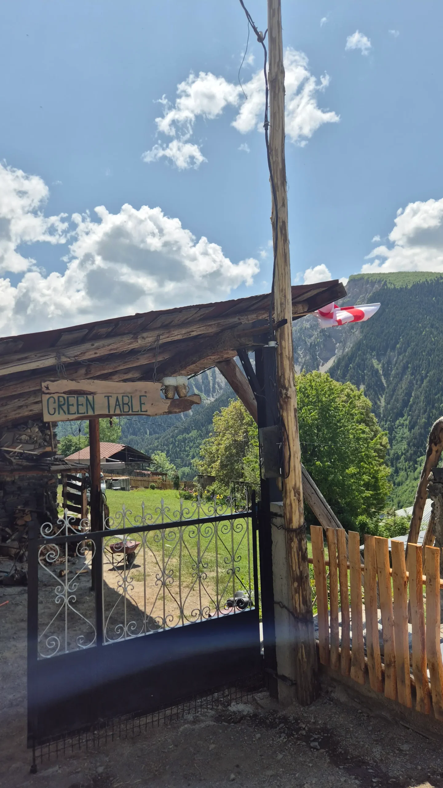
And if you do take the lower route, you should stop by here for a beer. It just looks like someone’s garden (which is essentially what it is) with a sign saying ‘Green Table’. They sell beers for 10 GEL as well as tea and coffee and smoked sulguni cheese.

Follow the road down through Zhamushi and Cholashi and then take the path up the left hand side of the river heading to here which is a great place to stop for a break with a river view.
If it has been raining, the rest of the route up alongside the river can get pretty mucky, but keep following up to here.
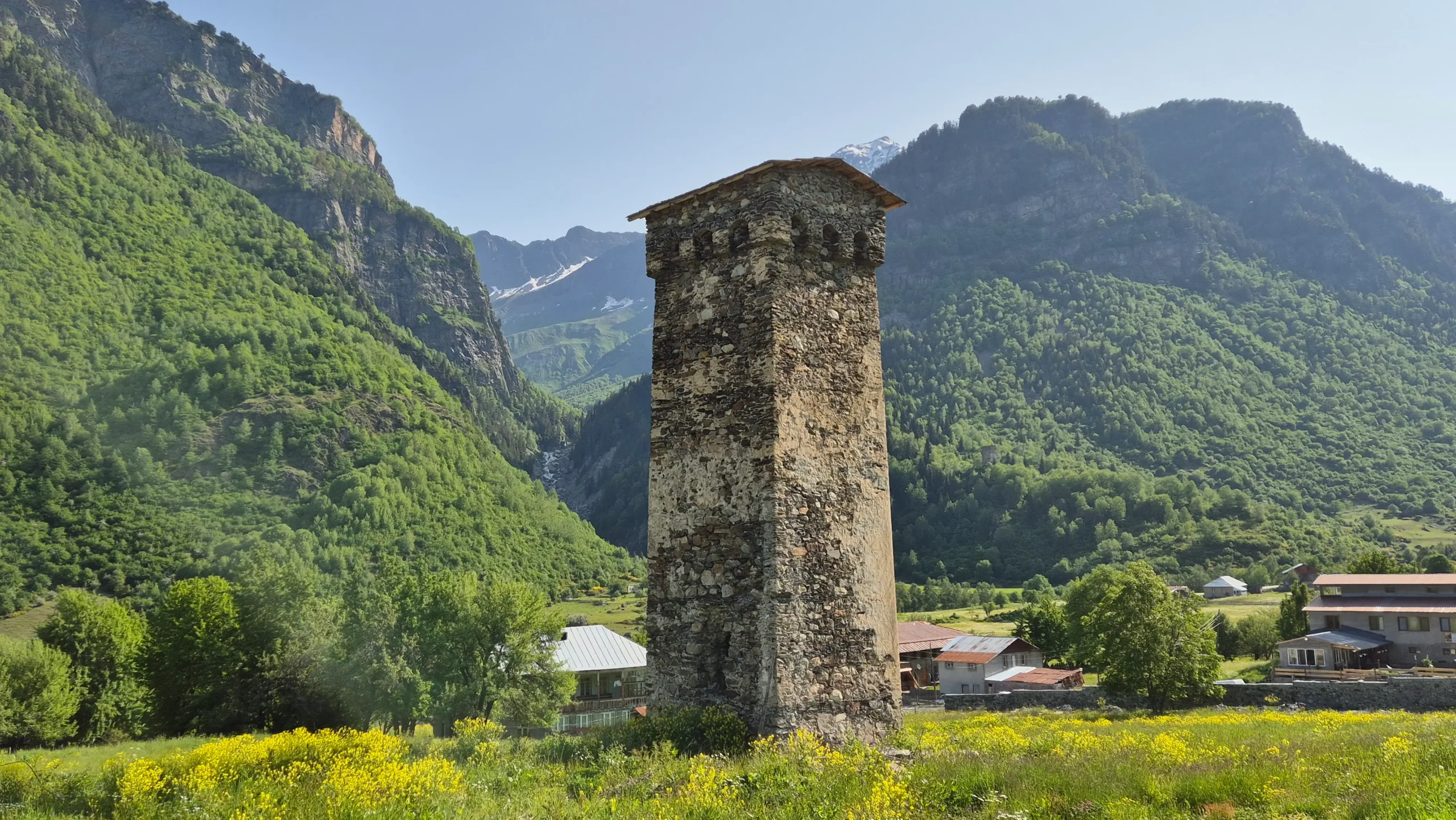
You’ve made it to Zhabeshi! Cross the bridge into the village and head to your guesthouse for the night.

Where to Stay in Mestia
Roza’s Guesthouse (£)
If you’re on a budget, you can get a comfortable and simple room at Roza’s Guesthouse. Roza is so helpful and welcoming!
🛏️ Reserve your room 🛏️
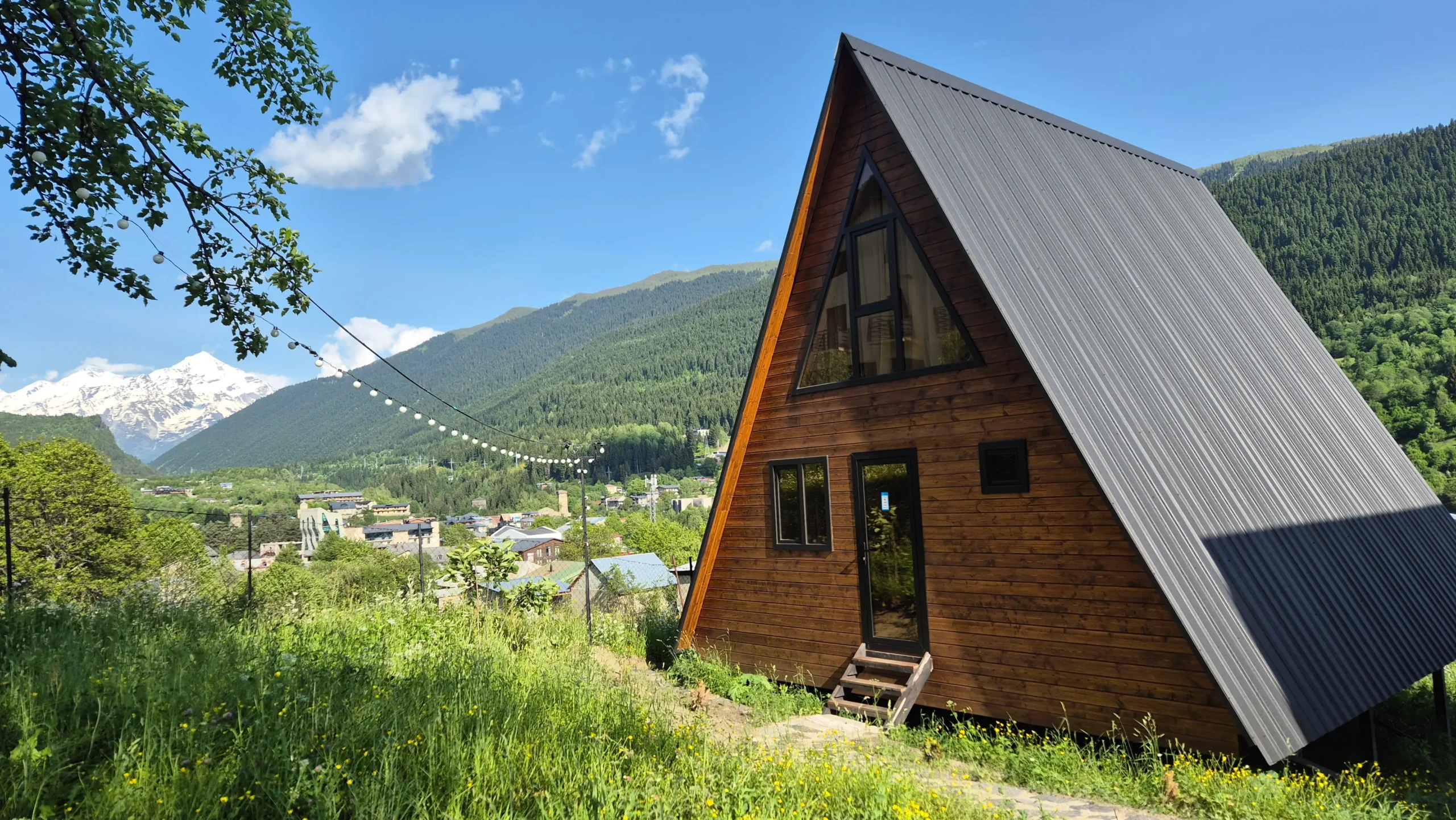
A-frame Wonder (££)
We also stayed in Roza’s cabin (A-frame Wonder), which has enough space for four people to stay a large seating/dining/kitchen area, and even a balcony with mountain views.
🛏️ Check out the view! 🛏️

Where to Stay in Zhabeshi
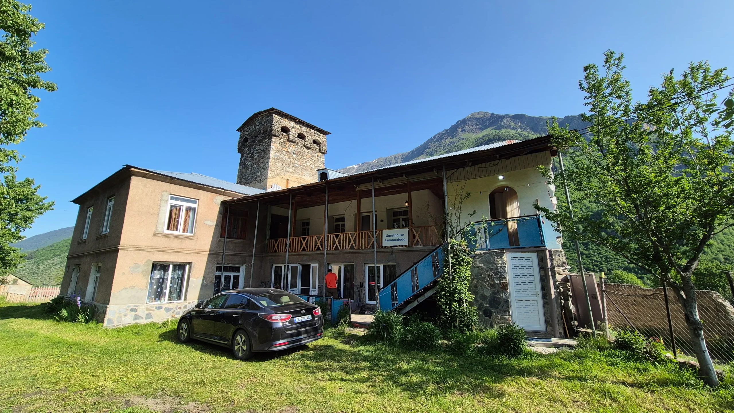
We stayed at Guesthouse Tanano/Dodo. The family running the place were SO lovely and welcoming.
Their cheese and potato khachapuri, and homemade yoghurt were great! There is only one shared bathroom for the four rooms at the guesthouse.
🛏️ Reserve your room 🛏️

2. Zhabeshi to Adishi
Today is a long old slog uphill for about two hours so make sure you get yourself some good carby breakfast and a strong coffee before you set off.
Head up to this spot and cross the bridge to the right. Follow the path past a few houses – there is a BIG Caucasian shepherd dog that lives here, but he was chained up.
This section is pretty muddy and gradually becomes steeper as the path curves to the left. The view opens up to the right and it is really pretty!
At the top of the muddy path about here, you’ll hit a crossroads. Yes, there are yellow signposts on the right, but they do not point to Adishi. Take the route to the left instead and follow it up through the trees.
The view opens up to the left about here and it is beautiful! Cross the small stream and then follow the path up.
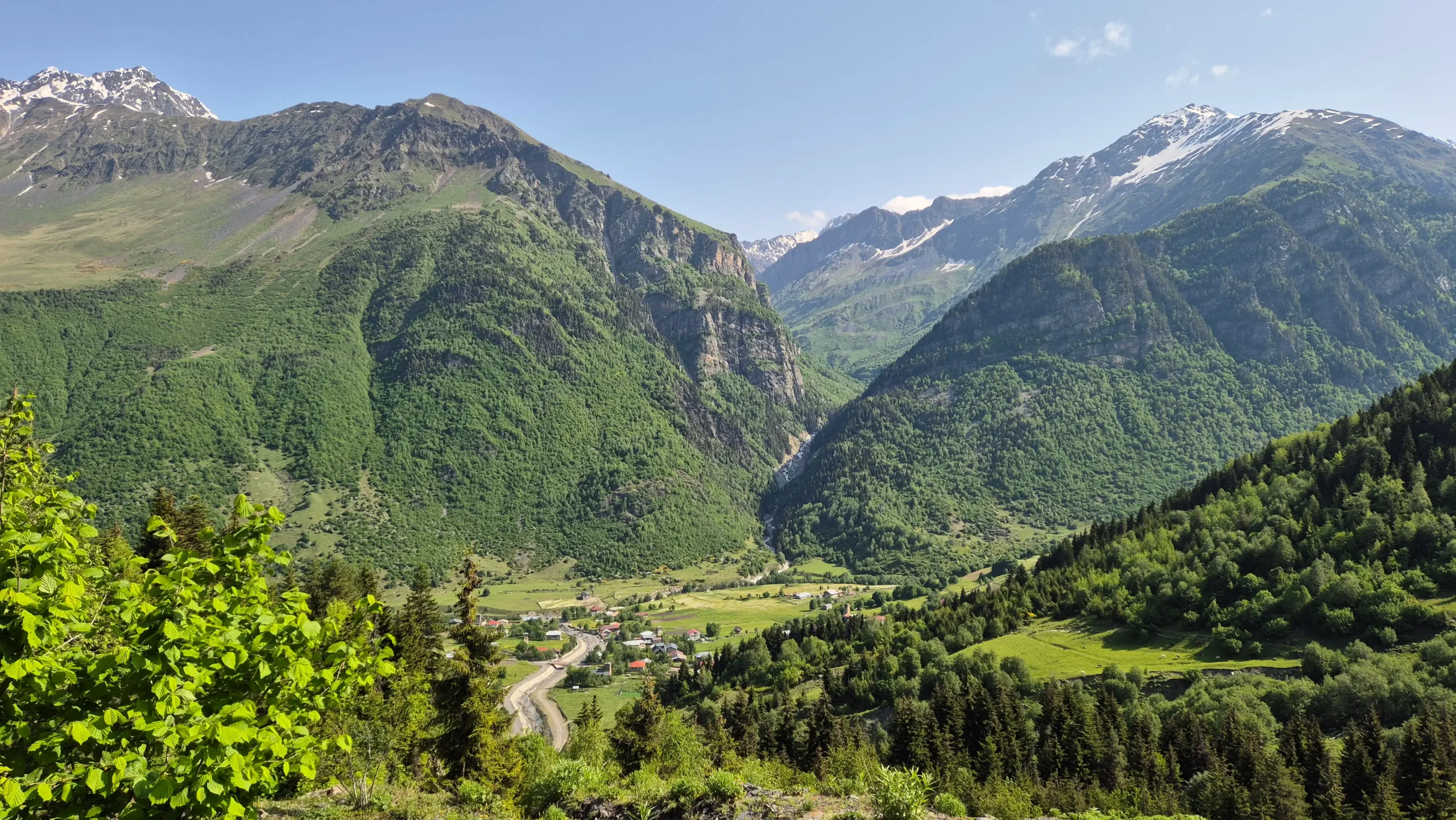

It’s tough and it’s relentless and it’s steep for a good hour or so until you reach the mountain pass, but once you reach the top, there is a café serving cold drinks and snacks. Put down your pack, buy yourself a cold Coke and breathe.
There are benches and views over snow-capped mountains so this is the perfect spot to recover.
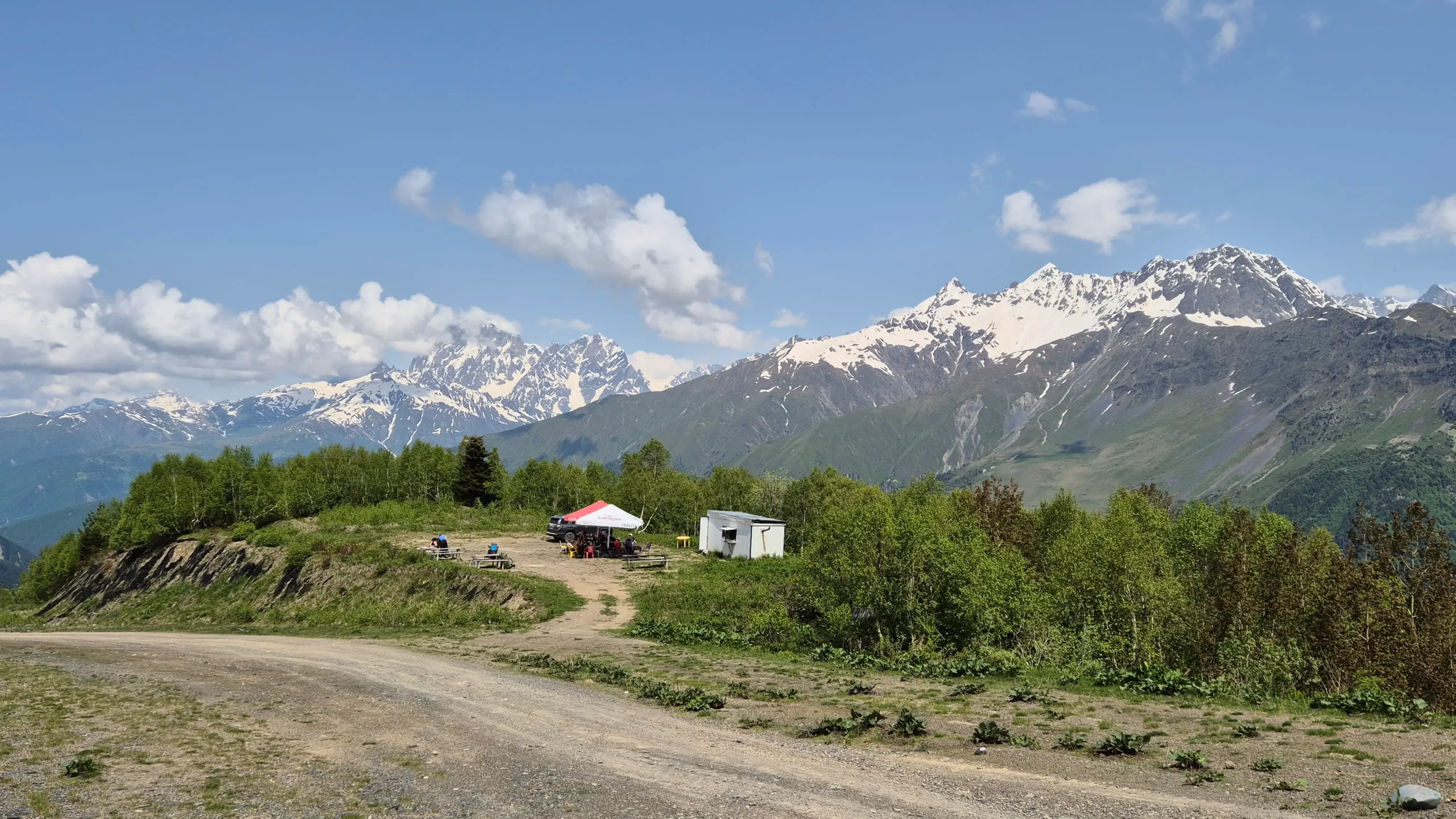

Unfortunately, there is still a little more up, but you’re about to hit my absolute favourite section of the hike! From the café, head left up the road to here.
It’s downhill from here and insanely pretty. We took the right and lower path at this fork, but Maps.me looks like both routes lead to Adishi.
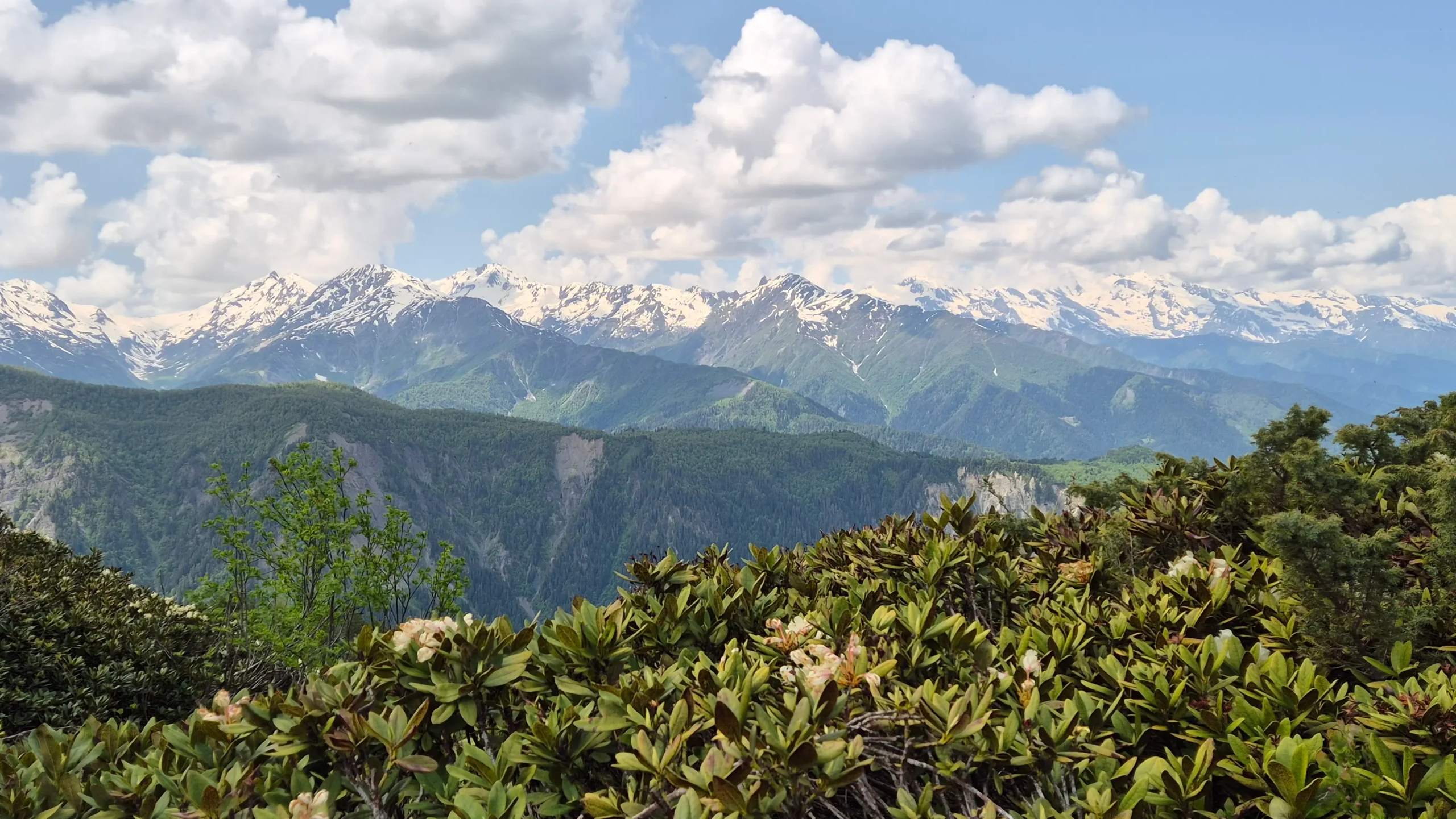

At this spot, there is a river crossing with a dodgy and very wobbly couple of strategically placed planks of wood. Take it slow and test out the wobbliness and placement of the planks before you go for it!
The next section is likely muddy and boggy and then continue straight on the path until it opens out into the valley and you reach Café Lakhvba. It wasn’t open when we were there mid-June, but it looked great!
After this café, you will start to see Adishi in the valley and it really is truly beautiful and full of Svan towers.
You survived day two!
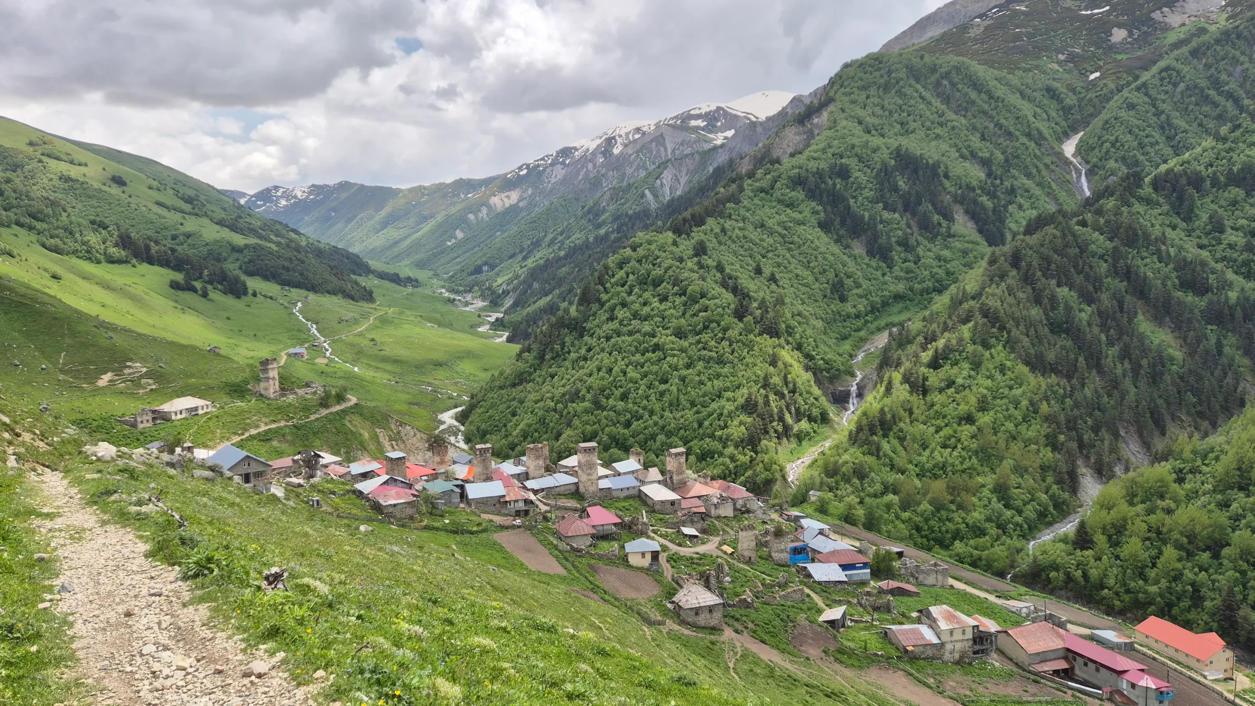

Where to Stay in Adishi
We stayed at Koba Qaldani’s Guesthouse/Café. We were pretty shocked when we turned up and saw that we had to scale a ladder to enter the guesthouse!
Adishi seems not to have electricity until maybe 16:00/17:00 so you can’t have a hot shower until then (though this is village-wide, not specific to this accommodation).
This guesthouse had two bathrooms which eased the traffic! Because it is also a café, you can buy snacks, drinks, even some hot cooked dishes.
🛏️ Check out the view! 🛏️
Savvy Traveller Pro Tips 🇬🇪
After exploring Georgia for nine months, these are our favourite booking tools that we couldn’t travel without!
3. Adishi to Lalkhori
This is the day of the infamous river crossing! Ask at your guesthouse about horses, and they will help you out. Our guesthouse wrote the name of her horse man on a piece of paper to give to us, but if you’re trekking in the main season – July, August, some of September – there will likely be horses at the crossing waiting for you.
Head up and to the right, crossing the bridge out of the village – you’ll find a set of yellow signposts here.
Just beyond the signpost, you’ll see the road splits in two even though Maps.me suggests that there is only one route. Both routes end up reconnecting later on, but we took the higher route to the left, which is the one marked on the map.
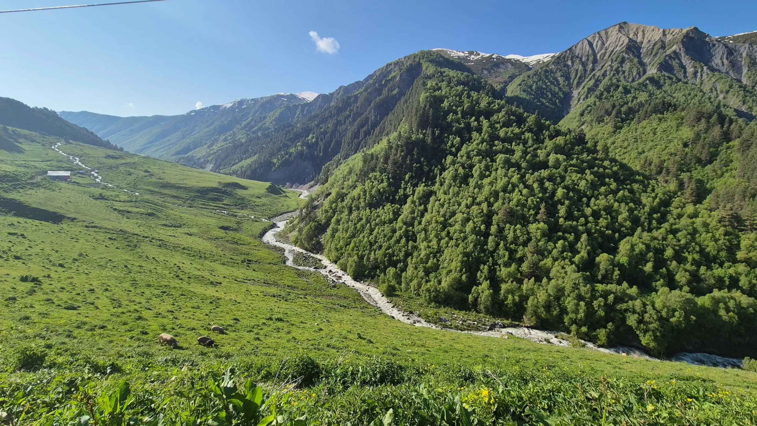

Cross a couple of streams while following the path up river. And this is where you have to cross the river. Maps.me even has it marked as ‘Potentially deep and hard river crossing’.
Early in the season, the river levels are high because there is more rain and melting snow and ice from the mountain tops.
When the horses were crossing, the water was reaching the top of their legs, and it’s powerful water. Now, I am not someone that rides horses, in fact, I feel completely uncomfortable and anxious at the thought of getting on a horse.
But the alternative of wading through waist-deep water was a no from me. We paid 25 GEL per person (which is huge for a 20 second journey!), but 100% worth it in my opinion.
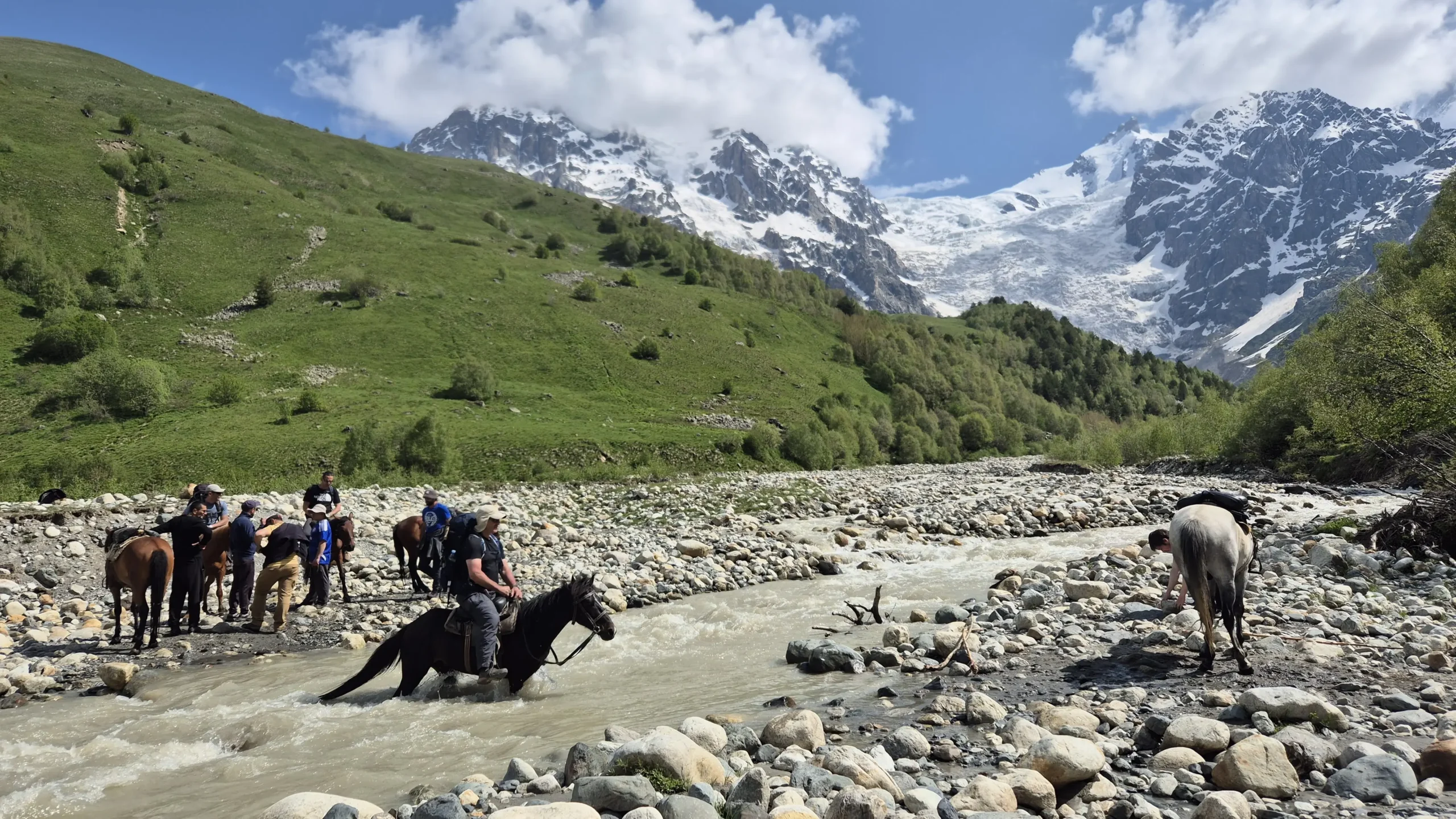

If you arrive early, they likely will not have change, so try to bring exact money. Later on in the day, there were more hikers who all got a bit brave and created human chains to get each other across.
So, it may well be possible to cross without the horse, but I did not feel happy doing it myself.
On the other side of the river, the path begins to ascend up and over the mountain pass. It is solid up from here for a couple of hours, so brace yourself!
If you’re here before the ice and glacier has melted, get ready for some slipping and sliding and not actually being able to see the route. In mid-June we had to scale a section of the snow/glacier covering the path. Top tip: bring poles or grab yourself a stick to give yourself more leverage.
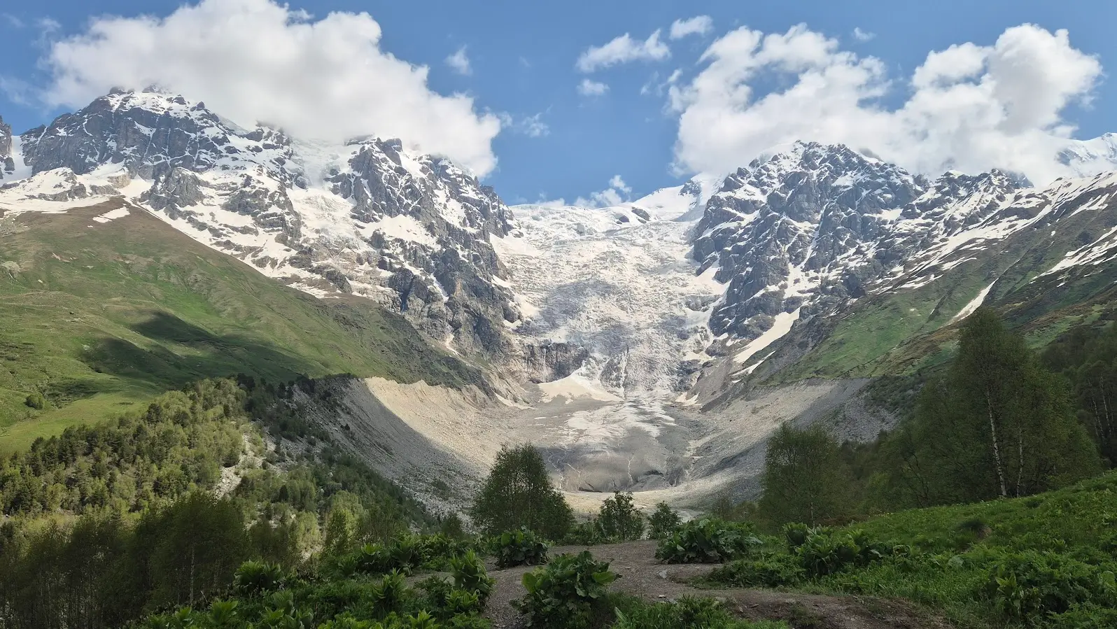
You might end up well off-piste like us, just keep heading towards this point here for a stunning view of the glacier across the valley. This view really is amazing. Take a right at this fork.


The ascent continues to be unforgivingly steep for another hour or so, BUT the views get better and better and better until you reach Chkhunderi Pass, today’s highest point.
This is the perfect spot to stop for a break with 360° views of snow-capped mountains.
If you’re feeling particularly energetic (we weren’t!), you can go slightly higher to the peak to get another view of the glacier before coming back on yourself.
I do not recommend continuing along the ridge and then heading down the other side. Two couples attempted this route and had to turn back because they said it was too steep and dangerous.
Maps.me has it named ‘potentially good way but barely visible’. So, yeah, if you go to the peak come back to the Chkhunderi Pass to head downwards.
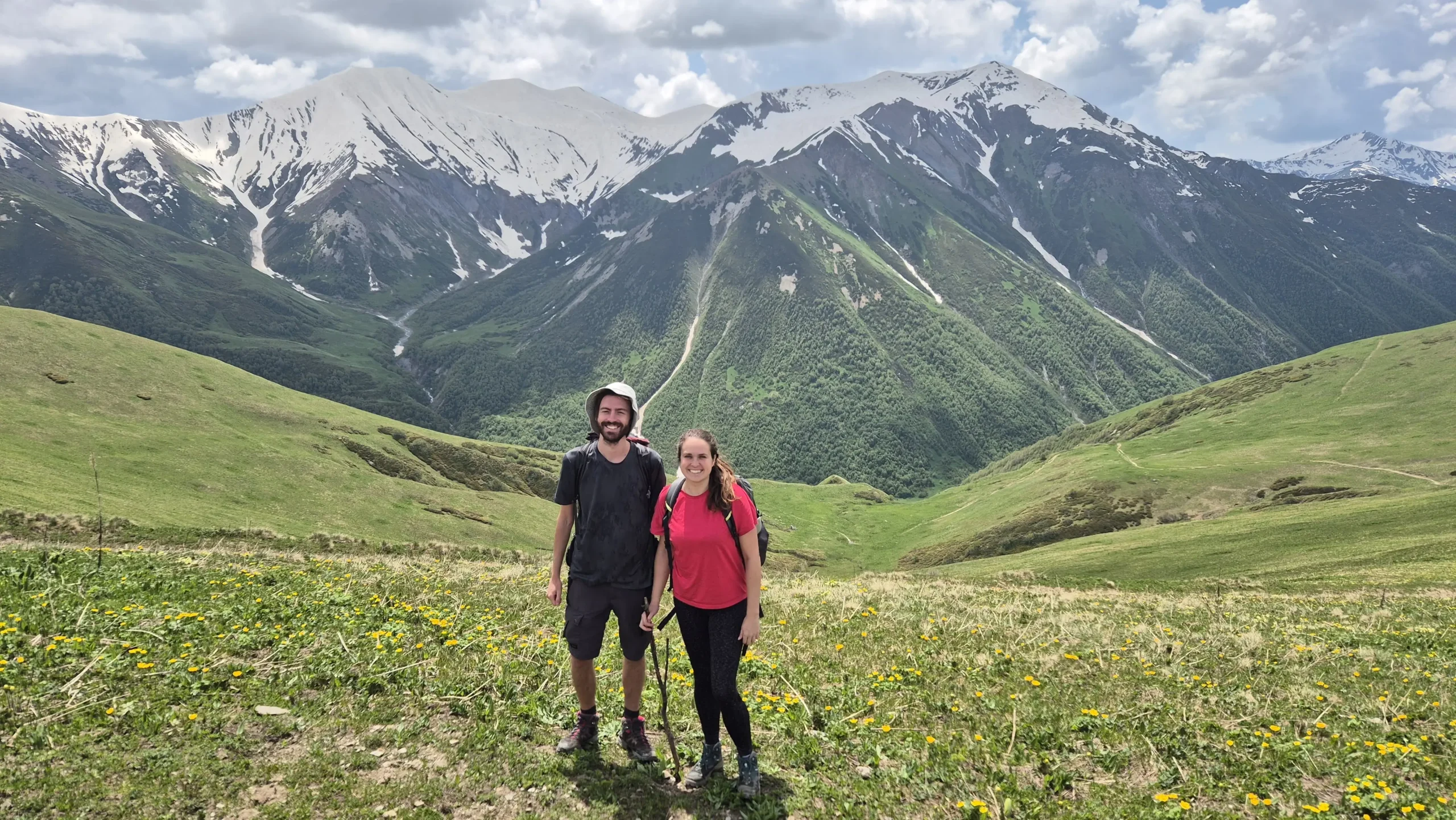

It’s steep but manageable down towards the shepherd’s huts.
From here, take a right and follow the path alongside the river. It’s easy to follow and relatively flat, but you’ll have to jump over the odd stream (nothing too stressful).
The first village you reach is Khalde. There are a couple of guesthouses if you wanted to stop here. We continued for a couple of hours along this path that kind of felt like a road following the river through the valley.
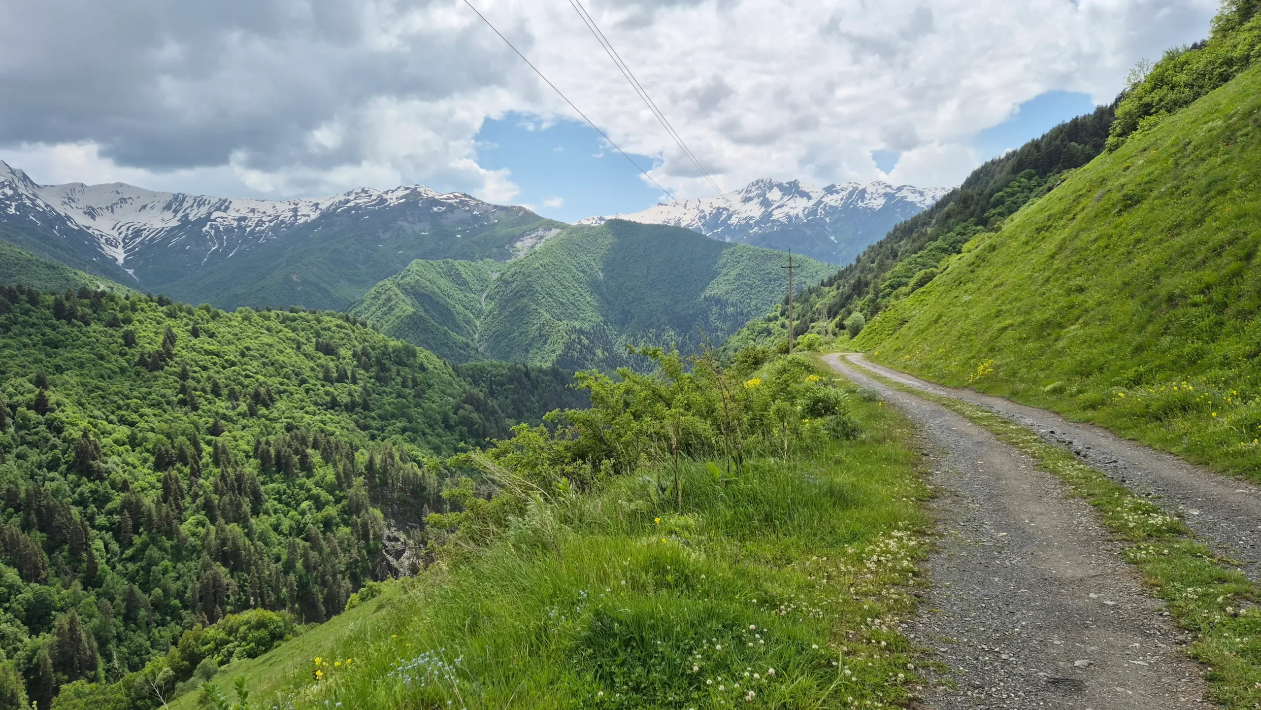

Most people stop in the next village along, Iprari/Iprali, or you can head to Lalkhori, like us.
It is only a thirty minute walk downhill. Take the left road downhill from this point and follow the path until you hit the ‘main road’.
You survived day 3!
Where to Stay in Lalkhori
We stayed at Guesthouse Robinzon Lalkhori (though their sign only says Guesthouse Lalkhori). This was definitely the nicest place we booked.
We had a large, comfy double bed with soft bedding and it was worth the little extra for the extra comfort after mammoth leg 3!
🛏️ Reserve your room 🛏️
4. Lalkhori to Ushguli
The easiest and least exciting leg, but you’re SO close to completing the hike!
Head up the road to about this point and take a left across the bridge and through Davberi village.
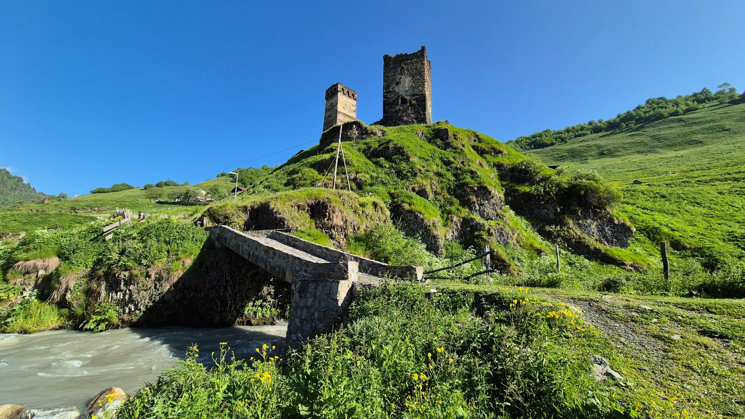

Jump over the stile and head upwards. It becomes pretty steep from here for about twenty minutes before opening out into meadows and then quickly turning to forest.
For the next hour or so, the path roughly follows the main road, just up the hillside taking you through very overgrown sections. I really disliked this part of the hike because there were loads of bugs and cobwebs across the path.
It then comes back down to the main road here and you can either just walk along the road or a path just up the bank beside the road. In about thirty minutes, you’ll reach Ushguli!
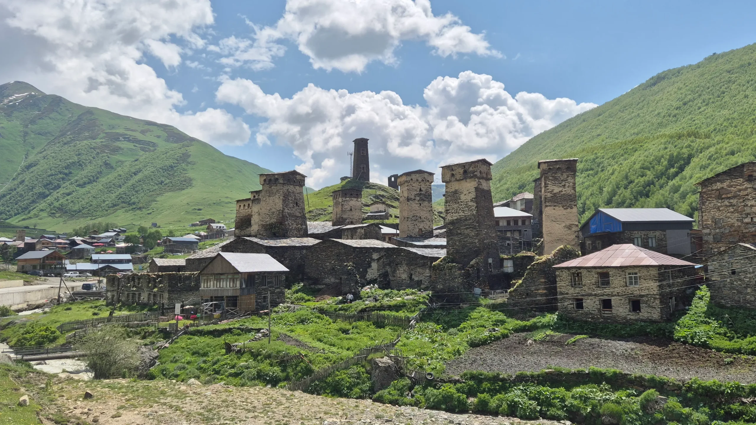

If you’ve lost the will to live/hike on the last day, you could always just walk the main road or even get a lift. Yes, it’s absolutely cheating but it is an option too because this leg was very much forgettable.
There you have it: Mestia to Ushguli in four days!
Where to Stay in Ushguli
We didn’t end up staying in Ushguli, but Old Tower Guesthouse – Kafe Ushguli is somewhere that ticks all the boxes for a comfortable stay after trekking over 60 kilometres!
🛏️ Reserve your room 🛏️
It’s close to Cafe Svaneti which is a spot we would recommend for lunch. The woman at the restaurant was really lovely and helped us arrange a shared taxi to take us back to Mestia.
FAQs
So, what do you reckon? Are you giving it a go? Message us on Instagram or email us on hello@relentlessroaming.com if you have any more questions!
Plan more of your trip with these:
- Travel Tips for Georgia (Country): 13 Useful Things to Know
- Georgia Transport Guide: Marshrutka Madness
- Don’t Fancy a Marshrutka? Here are 8 Spots in Georgia You Can Reach by Train
- How to Get from Kutaisi Airport to the City Centre: 3 Best Methods
- Top 10 Things to Do in Kutaisi (plus day trips)
- How to Get to Gelati Monastery from Kutaisi (& Motsameta!)
- 6 Things to Do in Chiatura: a Unique Day Trip from Kutaisi
- Hiking in Georgia: 3 Best Trails in Kazbegi
- 13 Beautiful Stops Between Tbilisi and Kazbegi along the Georgian Military Highway
- Visit Pankisi Valley: Off the Beaten Path in Georgia
- Tbilisi Airport to the City Centre: 3 Ways to Get There
- Is Tbilisi Worth Visiting? Yes! Here’s Why…
Like it? Save it!
