How to Visit Ani: the Ancient Armenian City

How to Visit Ani: the Ancient Armenian City

How to Visit Ani: the Ancient Armenian City

Published on

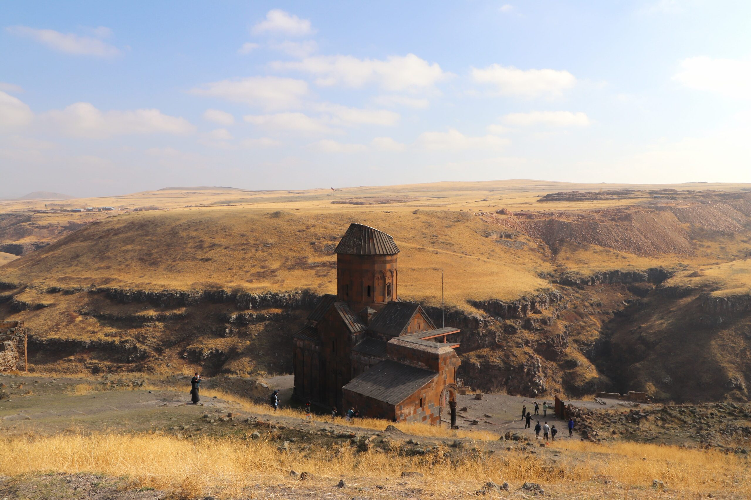
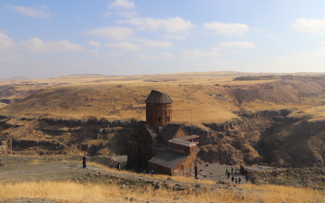
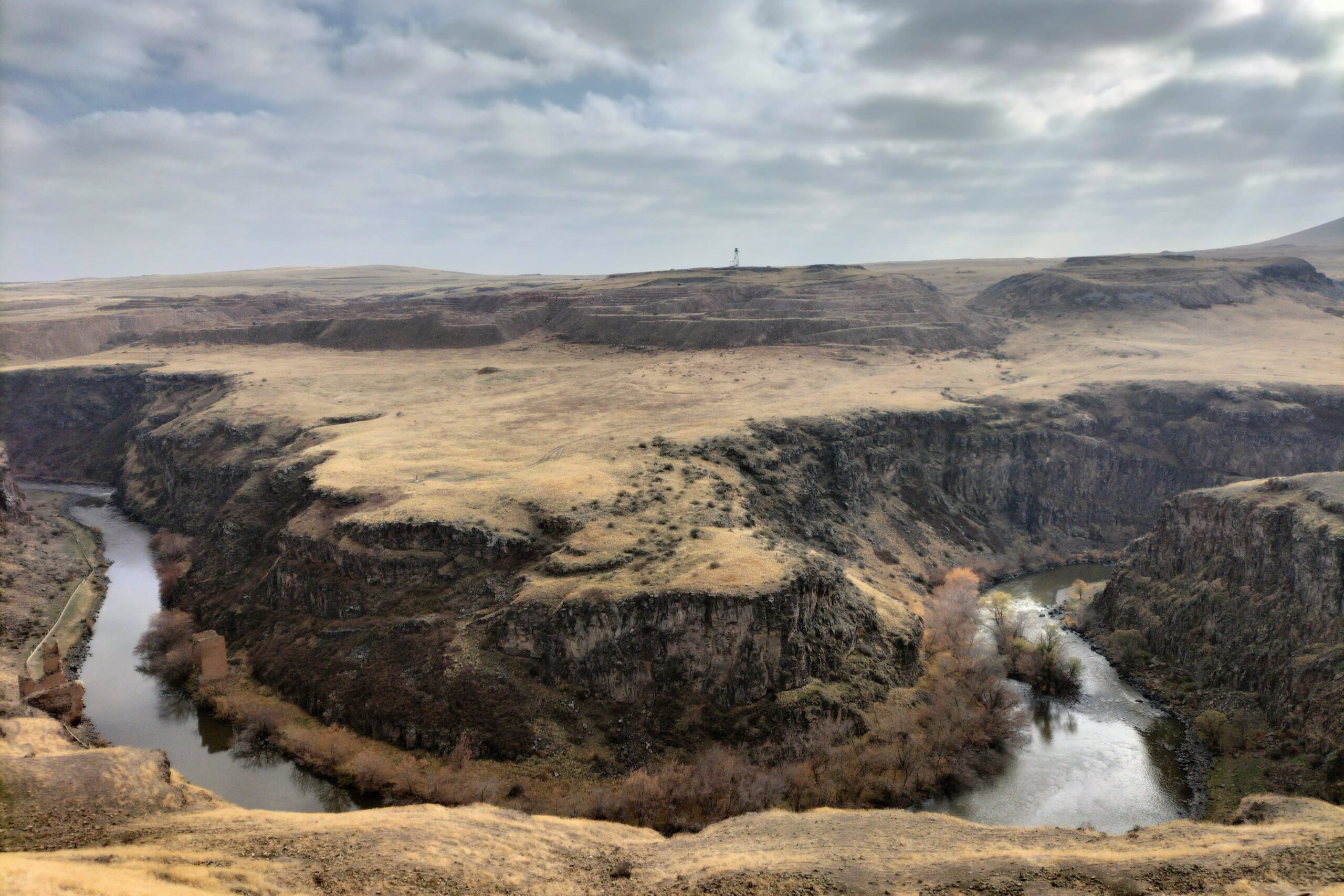
Ani, the medieval capital of Bagratid Armenia, now lays in ruins. The gorge created by the Akhurian river snakes its way beside the city and forms a natural border bringing the once Armenian city into modern day Turkey.

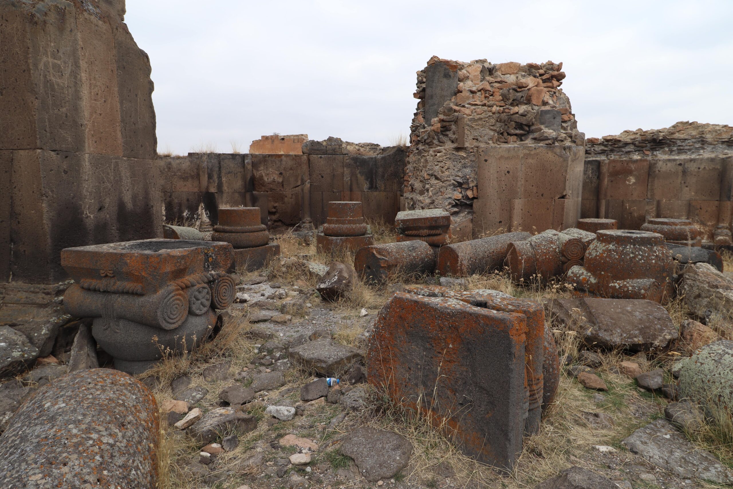
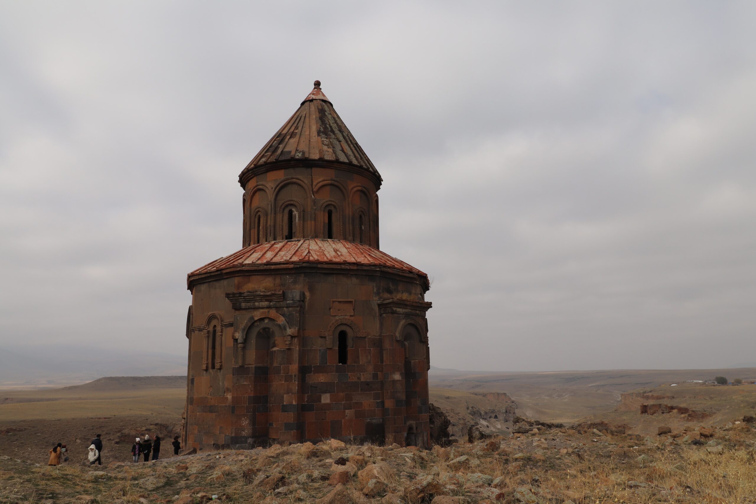
The tuff stone of some of the largest buildings still stand; the pink, orange and black hues of the bricks so characteristic of Armenia. Walk the gravel paths through the site, pop into the various buildings that remain, be amazed by the medieval artwork and inscription, stand in awe looking out over the gorge towards modern day Armenia. So close, but yet so far; the Armenian people lost one of their greatest symbols of pride with the change of borders. And, sadly, it seems that not enough is being done to keep the city alive.

This guide will give you all the info on how to visit Ani, a brief history and other things to do nearby.
Biryani house, kutaisi, georgia

A Brief History of Ani

Ani was the capital of the Bagratid Armenian kingdom which comprised of modern day Armenia plus modern day Eastern Turkey. The city thrived due to its location along a trade route, and during its time, it was one of the world’s largest cities.

Ani was invaded on many occasions. Seljuk Turks captured the city and slaughtered its population; followed by subsequent invasions by the Kingdom of Georgia and Mongols.

A devastating earthquake hit the region in the 14th century which caused significant damage from which Ani never really recovered. This combined with a change in trade route away from Ani, and the takeover of the Ottoman Empire resulted in the city being completely abandoned by the middle of the 18th century.

Ani was then incorporated into the Russian Empire. The city was looted and damaged by Turks in 1918. Archaeologists managed to rescue some artifacts before the ransacking.

Soon after, the Soviet Union invaded Armenia, and the treaty of Kars was signed determining the borders of Turkey and the three Caucasian Soviet republics – Georgia, Armenia and Azerbaijan. Ani was not given back to Armenia, and has remained in Turkish territory since.
how to visit ani

How to Visit Ani

Getting to Ani

The first step is to get yourself to Kars. 

Kars is the nearest city and has an airport (KSY) that connects with Istanbul and Ankara.

There is also a train that travels from Ankara to Kars. We haven’t taken this train but you can see details at this link.

We took a bus from Van to Kars. Tickets cost 300 TL, and the journey took seven hours, leaving Van at 10:00. During this seven hour journey, the bus was stopped on six occasions: either at police checkpoints or being flagged down by police. Yes, you read that right. The bus was stopped basically every hour.

Police would come on to the bus, check our IDs and passports, take them off the bus to presumably run them through a system, and bring them back. The whole thing was pretty tedious, but no one on the bus ran into any issues with the authorities, and we were the only non-locals.

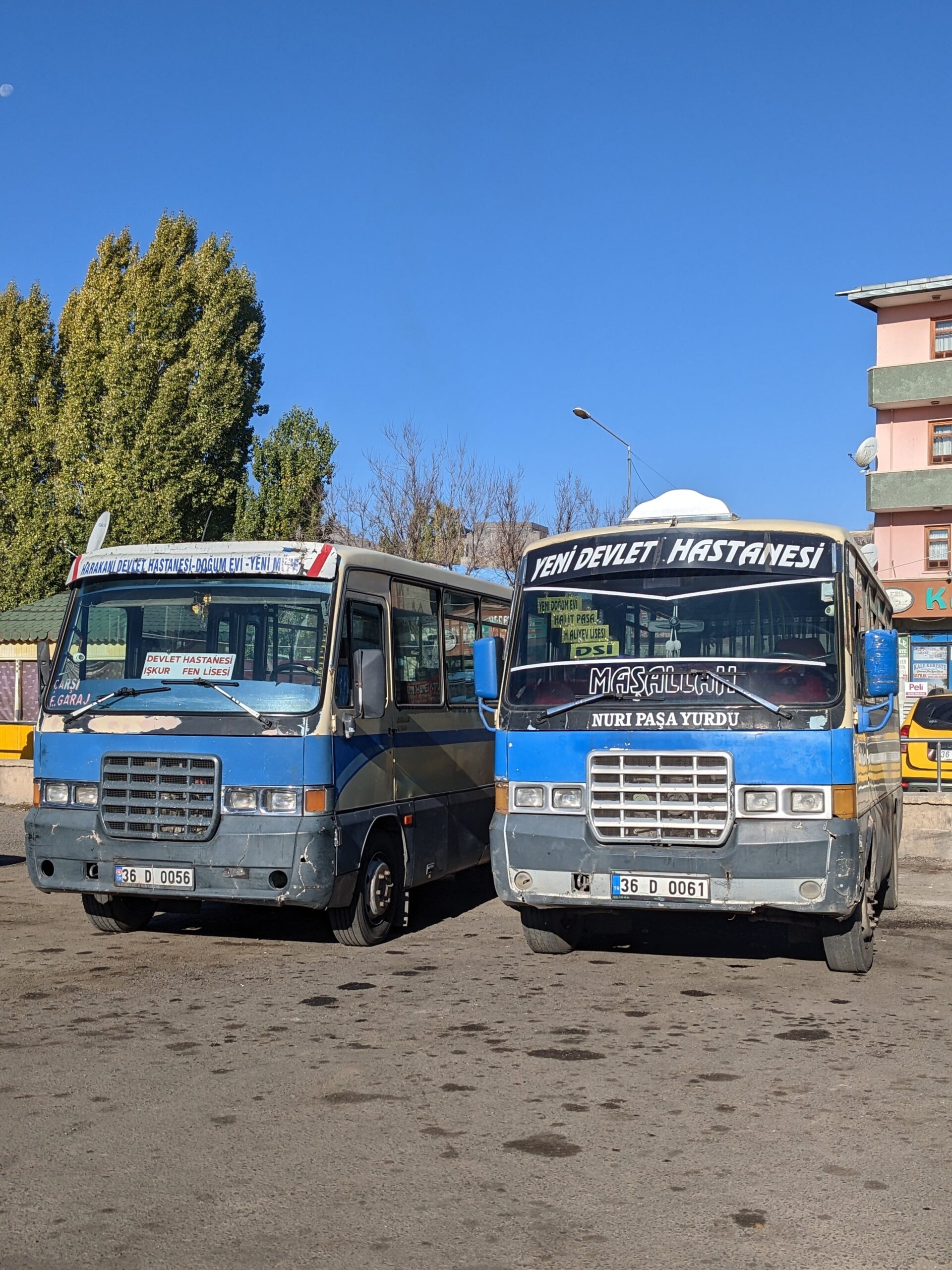
We bought our tickets through ‘Best Van’, but the bus company that actually drove the route was called Turgutreis. Once you arrive into Kars, there is a free shuttle bus that will take you from the bus station into the city centre. Give the driver a shout when you want to get off.

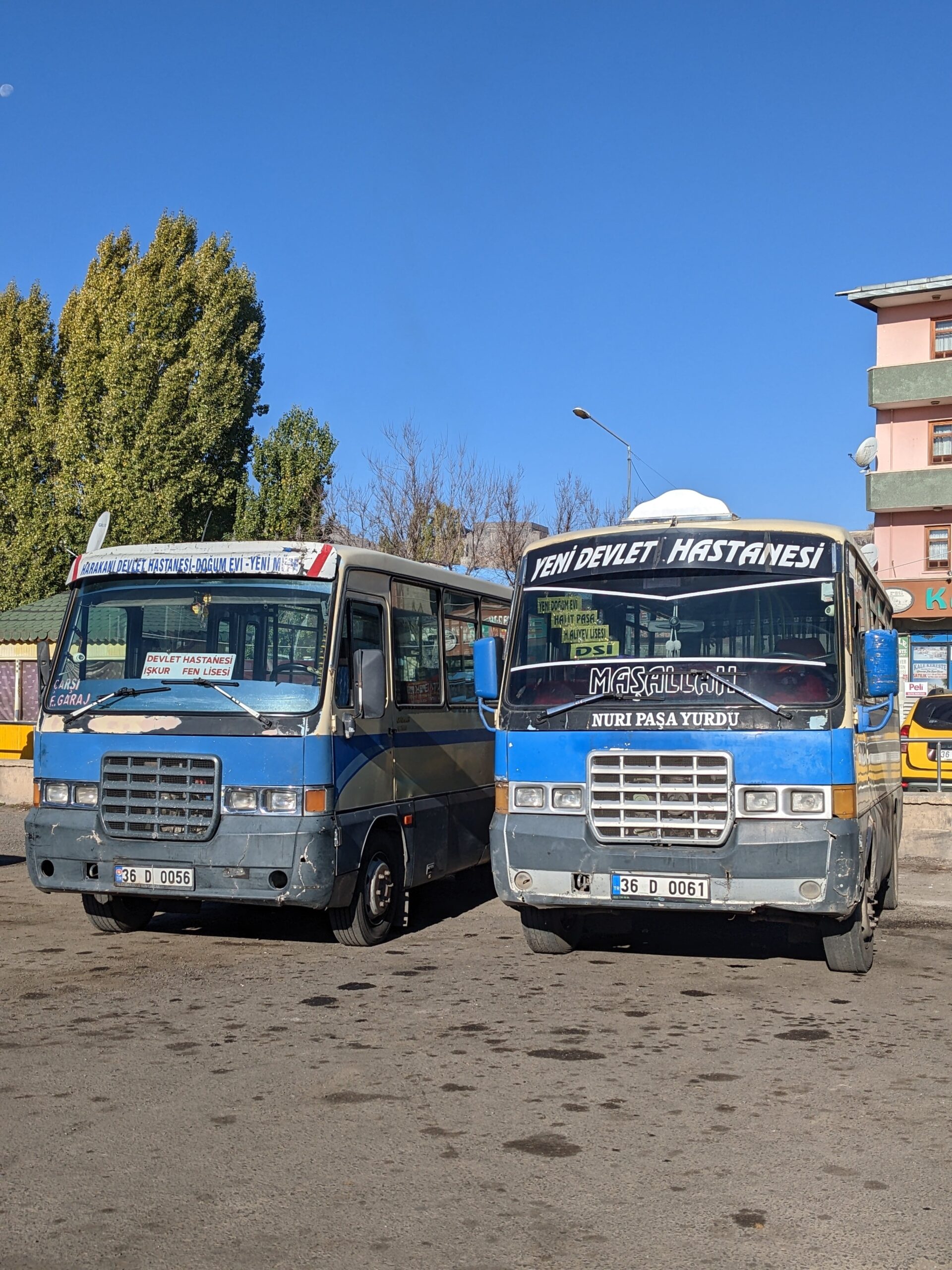
To get from Kars to Ani, you will need to catch the 10:00 bus from just outside of Sugar Beet Cafe. Head over here, pay 20 TL each way for your ticket in cash on the bus. The journey lasts about an hour. The bus waits around and then returns back to Kars, leaving Ani at 13:30.
How Long Do I Need to Explore Ani?

By getting the bus to and from Ani from Kars, you have two and a half hours to explore the site. And we found that this really worked out to be the perfect amount of time. We didn’t feel rushed, and even had a little time to buy postcards, a magnet, and slowly sip a cup of cay in the winter sunshine.
how to visit ani

Do I Need a Guide?

Maybe. When we arrived, there weren’t any guides working. We had, however, met an Iraqi Kurd on the bus who seemed to know a lot about Ani and was talking us through bits and pieces. There are a few plaques around the site with information, however, they are very lacking. I feel like so much more could be done to bring this site back to life, and tell Ani’s story!

I made sure that I did plenty of research before and after visiting to get a good grasp of the city’s prominence. Tours could be arranged in Kars to provide you with better insight.
how to visit ani

Entrance Requirements

As of November 22, the entrance fee is 50 TL. There is no need to buy your ticket in advance as this site is very much off the tourist trail and doesn’t receive hordes of visitors. Up until quite recently, Ani was a heavily monitored city, requiring visitors to apply for permits. Nowadays, you can just walk in without issues as long as you have your passport with you.  (We missed this memo and did not take our passports with us! Luckily, there weren’t many people visiting and the police let us enter anyway.) Entry is free with the Turkey Museum Pass.

Ani’s Hotspots

This is the route that we took around Ani. It took us around in a loop so we didn’t end up doubling back on ourselves, except when heading up to the citadel (but that’s unavoidable). Also, we found that the views and buildings were progressively more impressive in this order leaving the best til last.

– City walls

– Spot the cave dwellings on the other side of the gorge

– The characteristic black and orange checkerboard brickwork of Ani Palace

– The collapsed pillars of the Church of Saint Gregory Gagkashen

– Zoroastrian temple

– Church of the Holy Apostles

– The phenomenally preserved Armenian inscription on the walls of the Church of Saint Gregory of the Abughamrents. This is one of the iconic buildings of Ani as it is still largely in tact in comparison to the others.

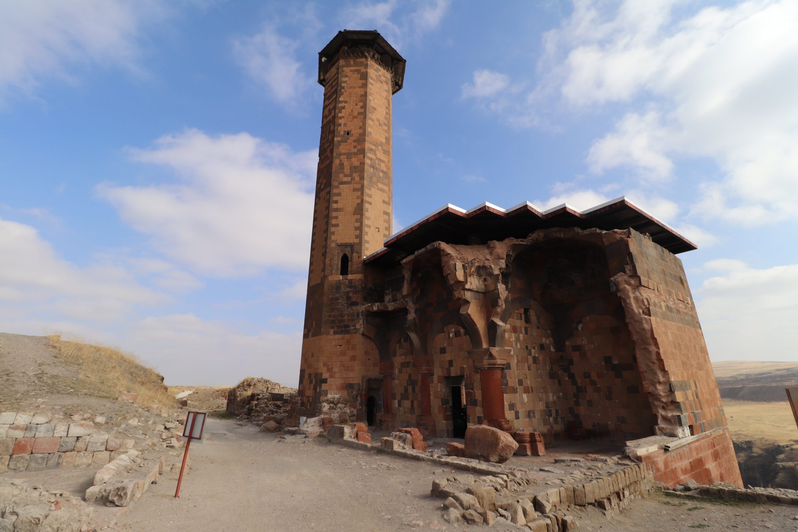
– The minaret and view over the gorge from Manuchihr Mosque. Make sure you walk around the outside of the mosque to get amazing views over the gorge looking over to Armenia. Spot the remnants of the Old Silk Road Bridge that crossed the gorge.
– Climb the hill and over the rubble of the Citadel for views of the Maiden’s Castle on what looks like an island/peninsula that extends out into the gorge. The castle, unfortunately, is out of bounds.

– Make your way back towards the entrance, stopping to venture into Ani Cathedral. This is one of the largest standing structures on the site. Walk through and out the other side to see star shaped brickwork and khachkars carved into the brick.

– See the Church of the Redeemer which almost looks as though it has been cut in half. When we were there, there was so much scaffolding, that we could barely see the building. (Fingers crossed that that means restoration is going ahead!

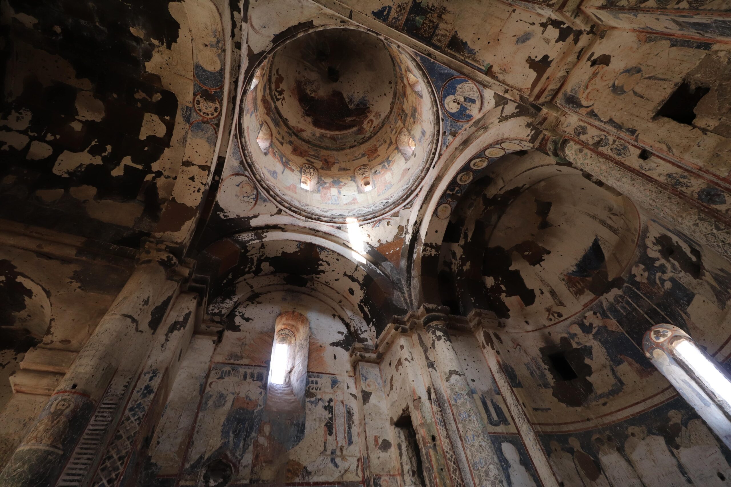
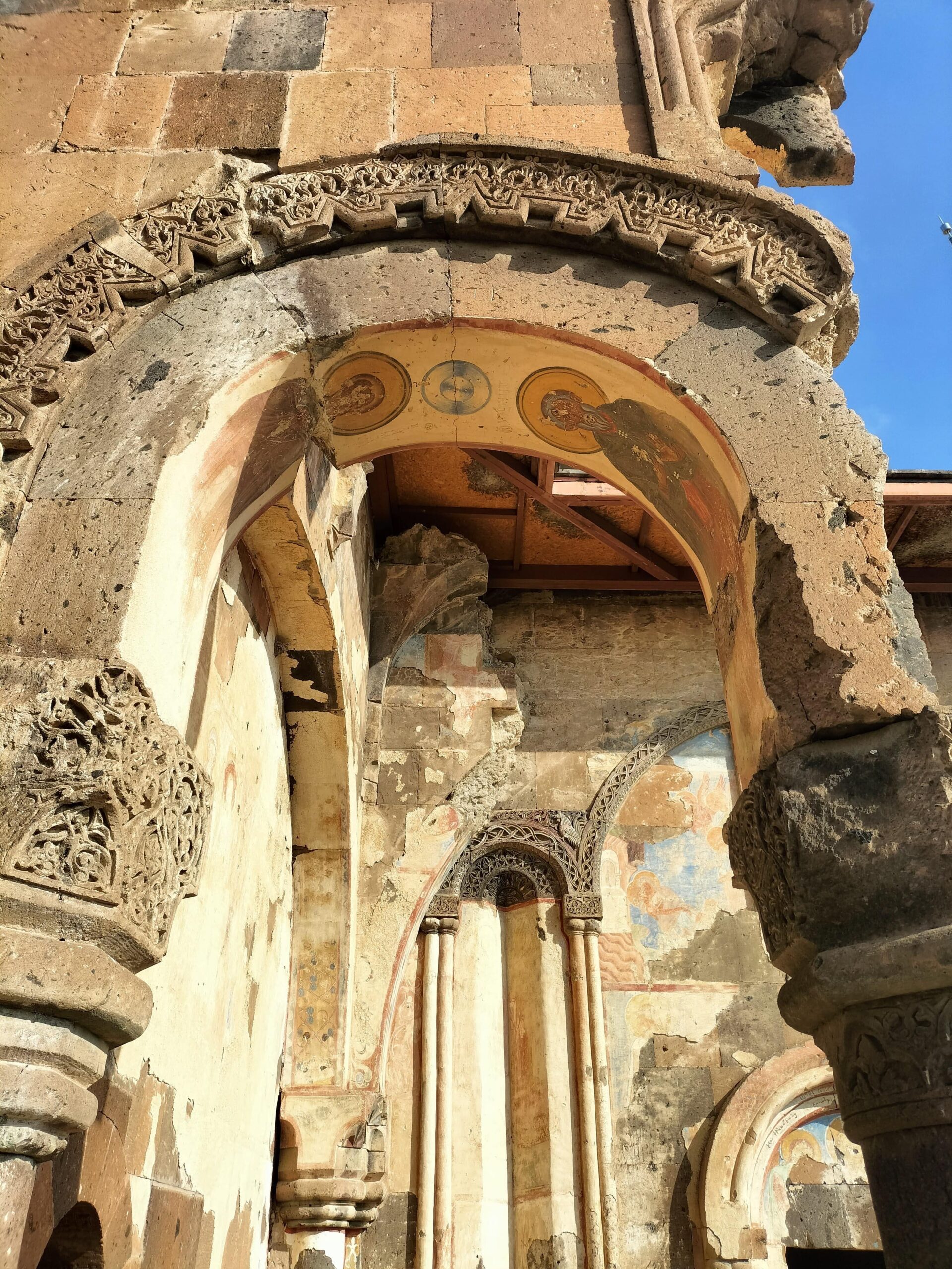
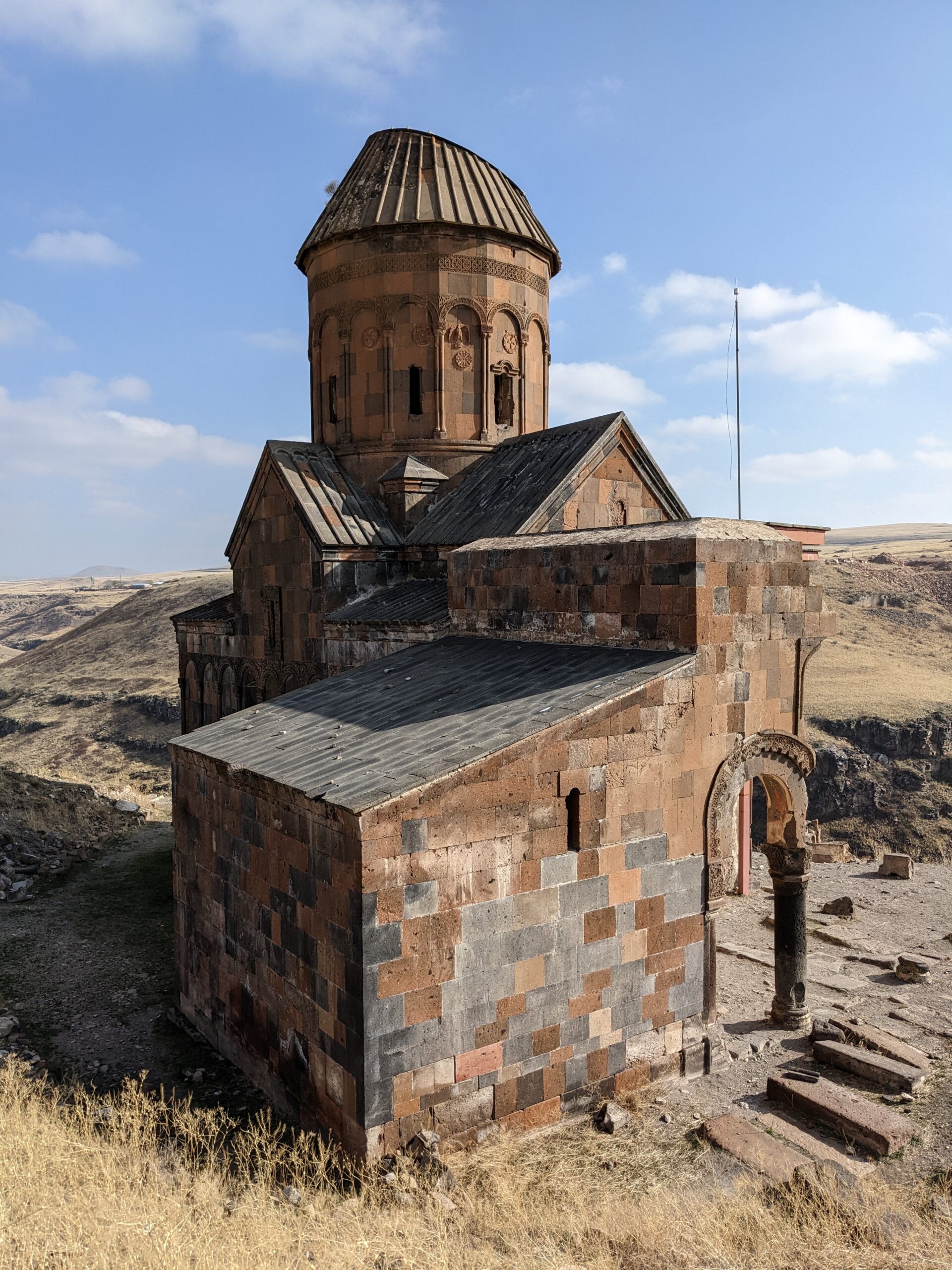
– And the absolute best til last: The Church of St Gregory of Tigran Honents. Admire the artwork above the entrance way and the ancient inscription on the outside of the building before heading inside and being wowed by the floor to ceiling artwork.
Facilities at Ani

There are toilets, a cafe serving drinks and snacks, and a souvenir shop.

Top Tips for Visiting Ani

Bring your passport for smooth entry to the site.

Wear sturdy shoes. There is a huge amount of rubble and uneven paths.

Be prepared for the weather to be brutal. We went in November and it was really cold and windy: there are no shelters other than the cafe at the entrance. Equally, in summer you would be fully exposed.

Other Things to Do Nearby

After visiting Ani, head back to Kars, and do a little exploration here.

Wander up to Kars fortress for uninterrupted views over the city. Entrance is free.

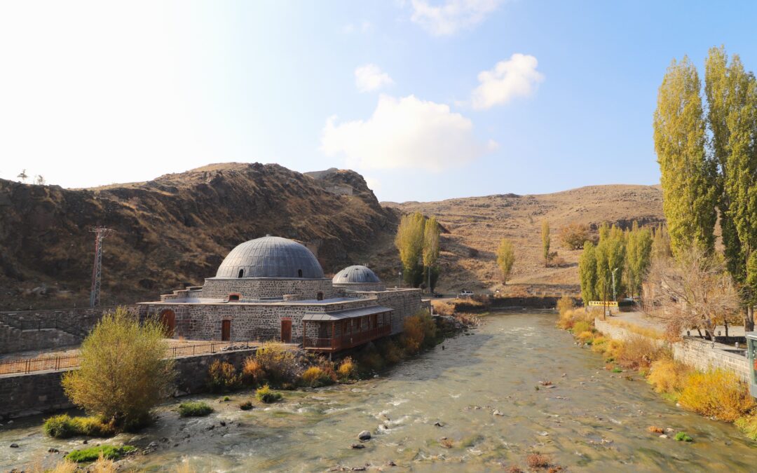
Stop for coffee at Raskolnikov overlooking the river. This cafe/restaurant is built in an old hamam.

Have dinner at Kars Kazevi. We ordered the evelik (local green) and nettle soup which also had lentils and potatoes in. We then shared a plate of hangel which is squares of pasta served with a mound of yoghurt and caramelised onions on top. The meal is served with a plate of pickles and bread, and followed up with a cup of cay. This was a really warm and comforting meal to finish off a very cold day of exploring the ruins of Ani.

Maybe head to Georgia next? Our next stop after Kars was Batumi in the Adjara region. Use this guide to find out how to make the journey.

Have you been to Ani or Kars? Or maybe you’re planning on heading out this way?

I’d love to hear your thoughts, recommendations and questions.

Thanks for reading!

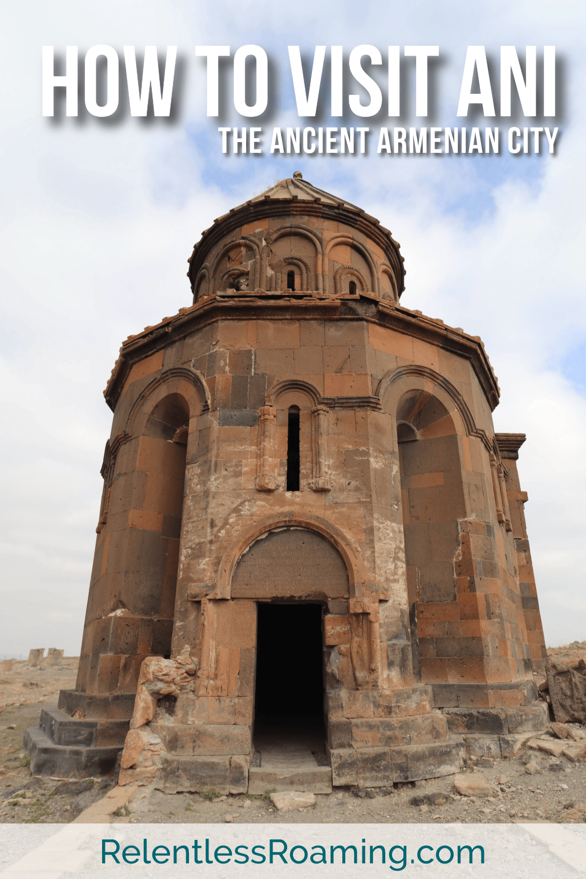
Like it? Save it!
krusevo p

Follow us on Instagram and Pinterest

Love Valley and Pigeon Valley Hike (with Maps.me Pins)

Love Valley and Pigeon Valley Hike (with Maps.me Pins)

Love Valley and Pigeon Valley Hike (with Maps.me Pins)

Published on

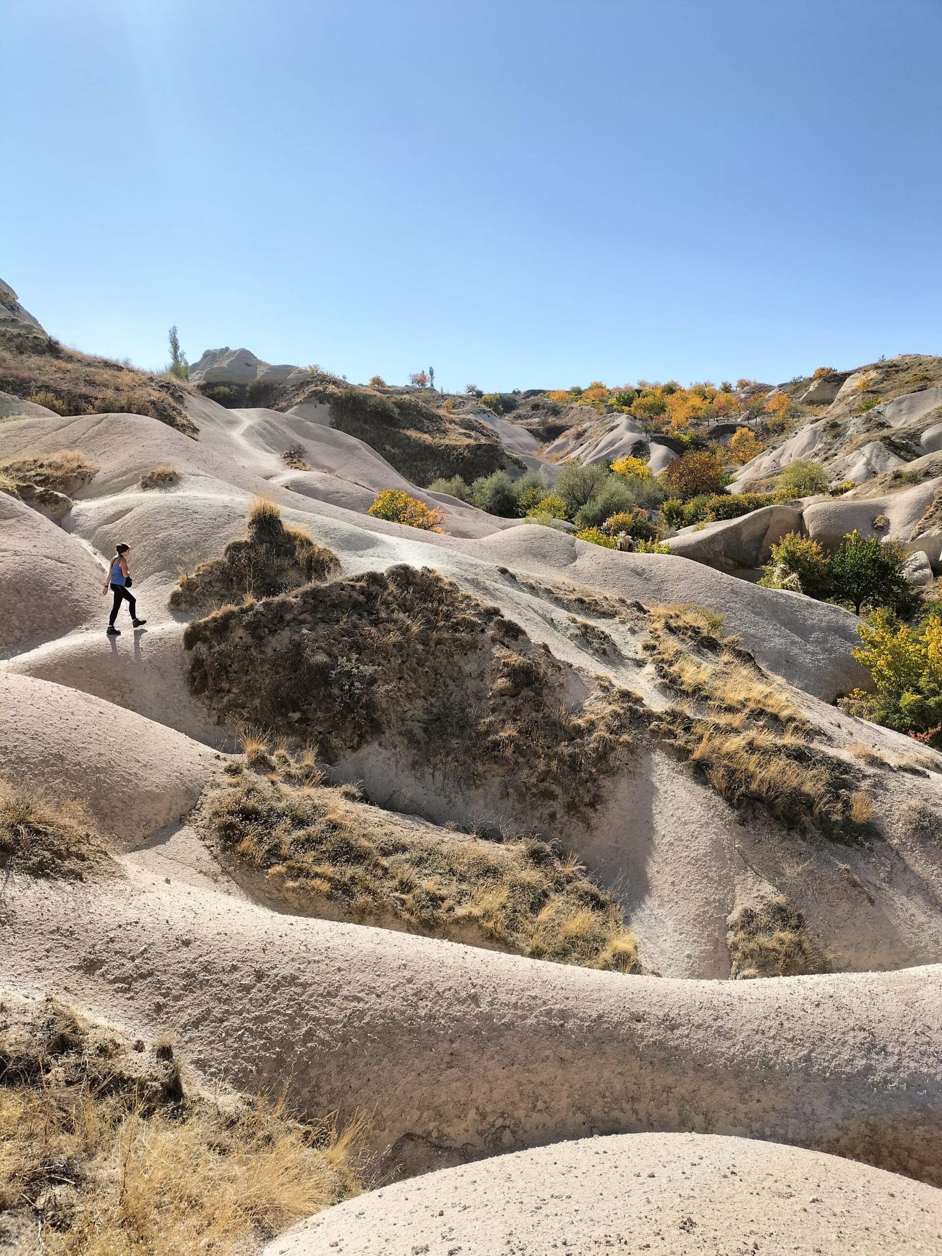
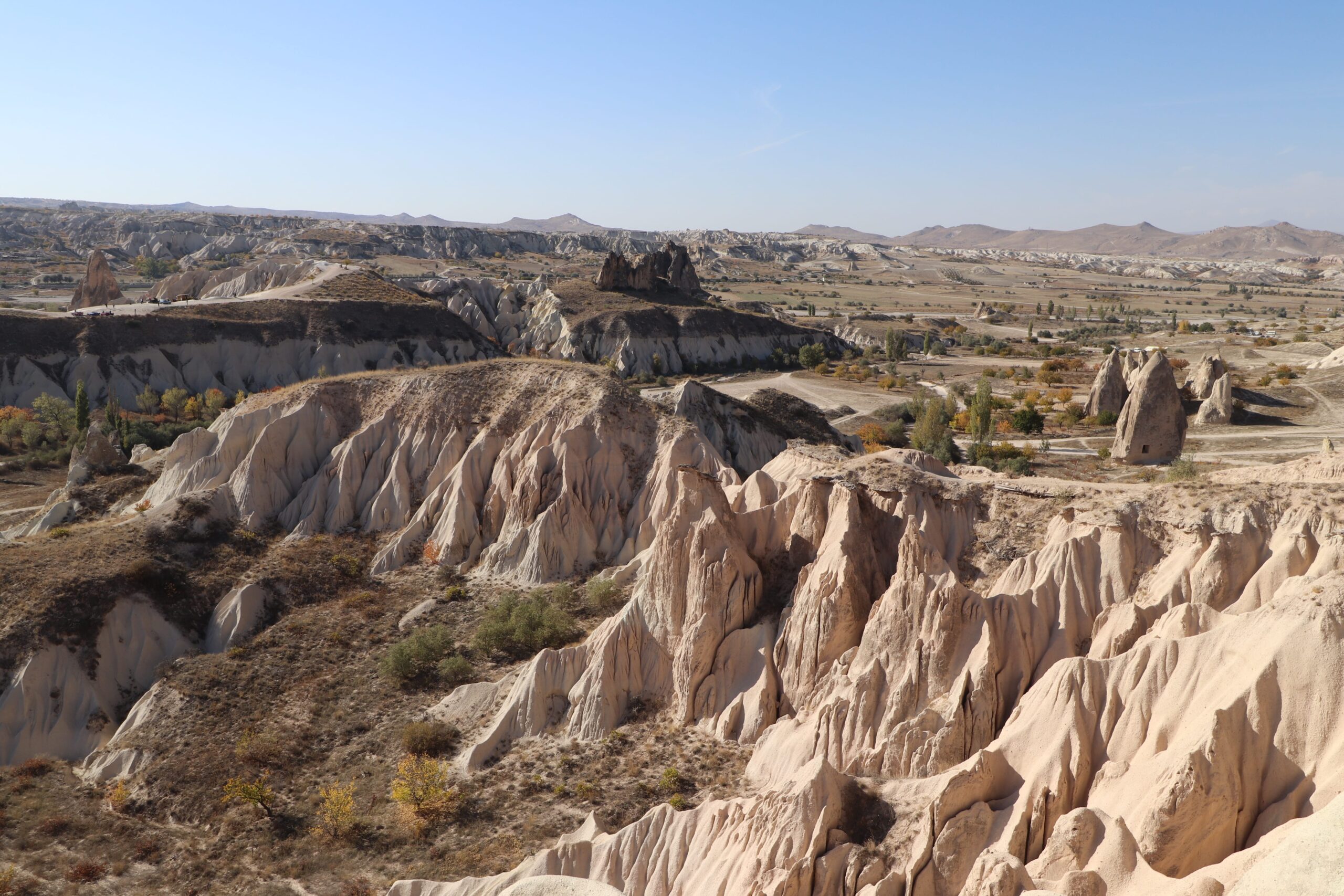
Cappadocia is such a special place with unique, otherworldly, breath-taking scenery. Each and every path that we saw through the valleys, we wanted to explore to see the beauties that would be revealed. Tunnels, abandoned cave houses, phallic-shaped structures; this place keeps you guessing.

We had five nights in Cappadocia and wanted to absolutely maximise what we saw; so went on a mission to do a Love Valley, White Valley and Pigeon Valley hike together with a visit to Uchisar Castle in one day.

It’s definitely doable! It is a long old day (we started at 09:30 and got back about 16:00) but the walking isn’t too taxing; and if you’re anything like us, you’ll be being so amazed by your surroundings that you won’t even mind walking all day!

Up for the challenge?

love valley

Top Tips

Number 1: Download Maps.me on to your phone and also download the map of Cappadocia so that you can refer to it offline, and mark the pins mentioned in the post.

Number 2: There are no entrance fees to any of the valleys so you can wander to your heart’s content.

Getting to Love Valley

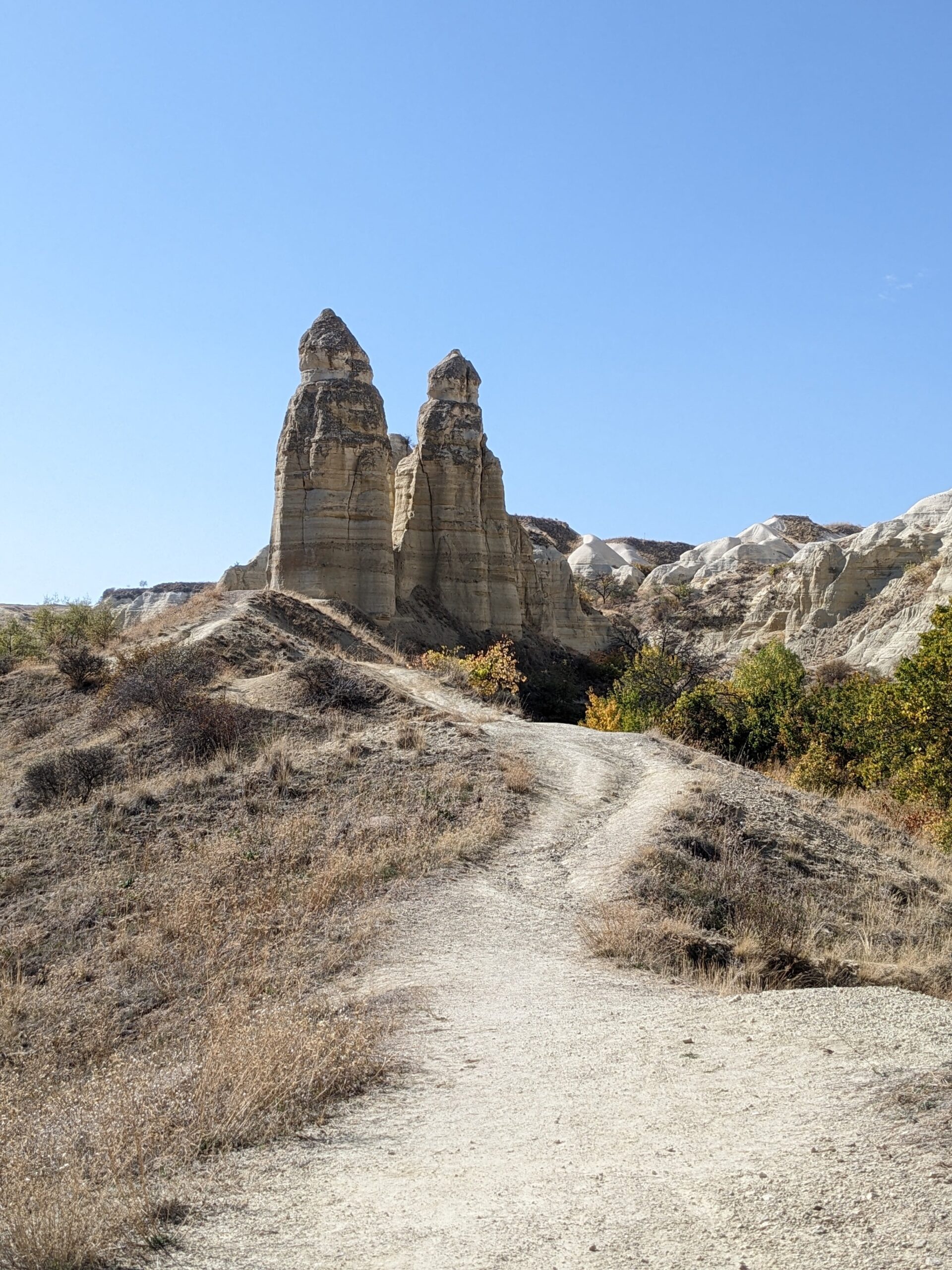
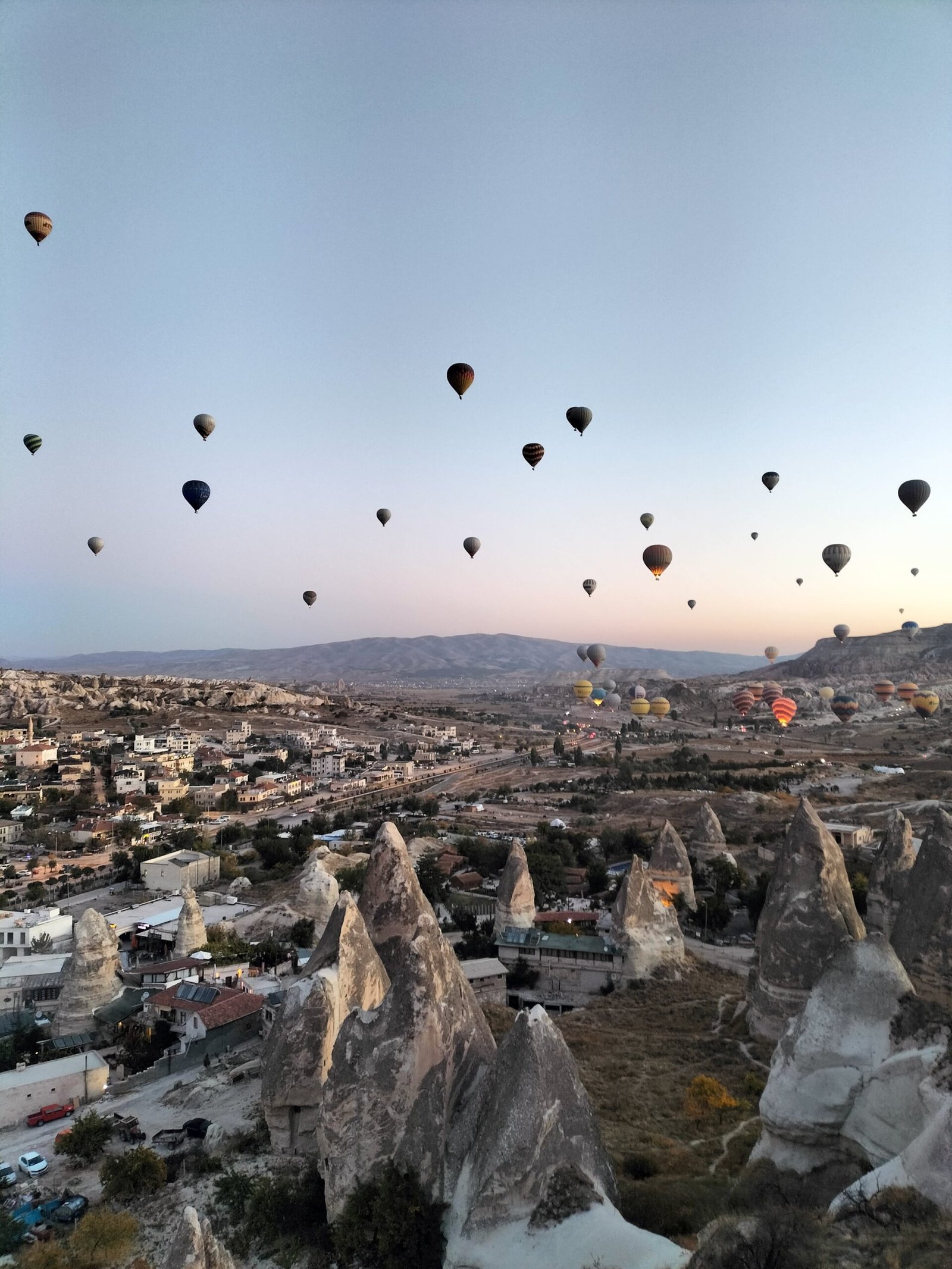
From Goreme bus station in the centre of Goreme town, walk the main road uphill until you see a black and red sign for Cappadocia Express and Goreme Rental ATV. Just after the sign and the building, take the road to the right leading up to phenomenal views over the valley. (This is a great spot to view the hot air balloons at sunrise away from the crowds, FYI – this link will only work on your mobile device if you have the Maps.me app downloaded.) Plotting this spot on Maps.me will take you right way. Keep following the path straight until you reach this spot. From here, veer left which will take you down into Love Valley. Once at the bottom, take the next left again and walk towards the crazy phallic-shaped structures – you cannot miss them.

white valley
white valley

Through Love Valley and into White Valley

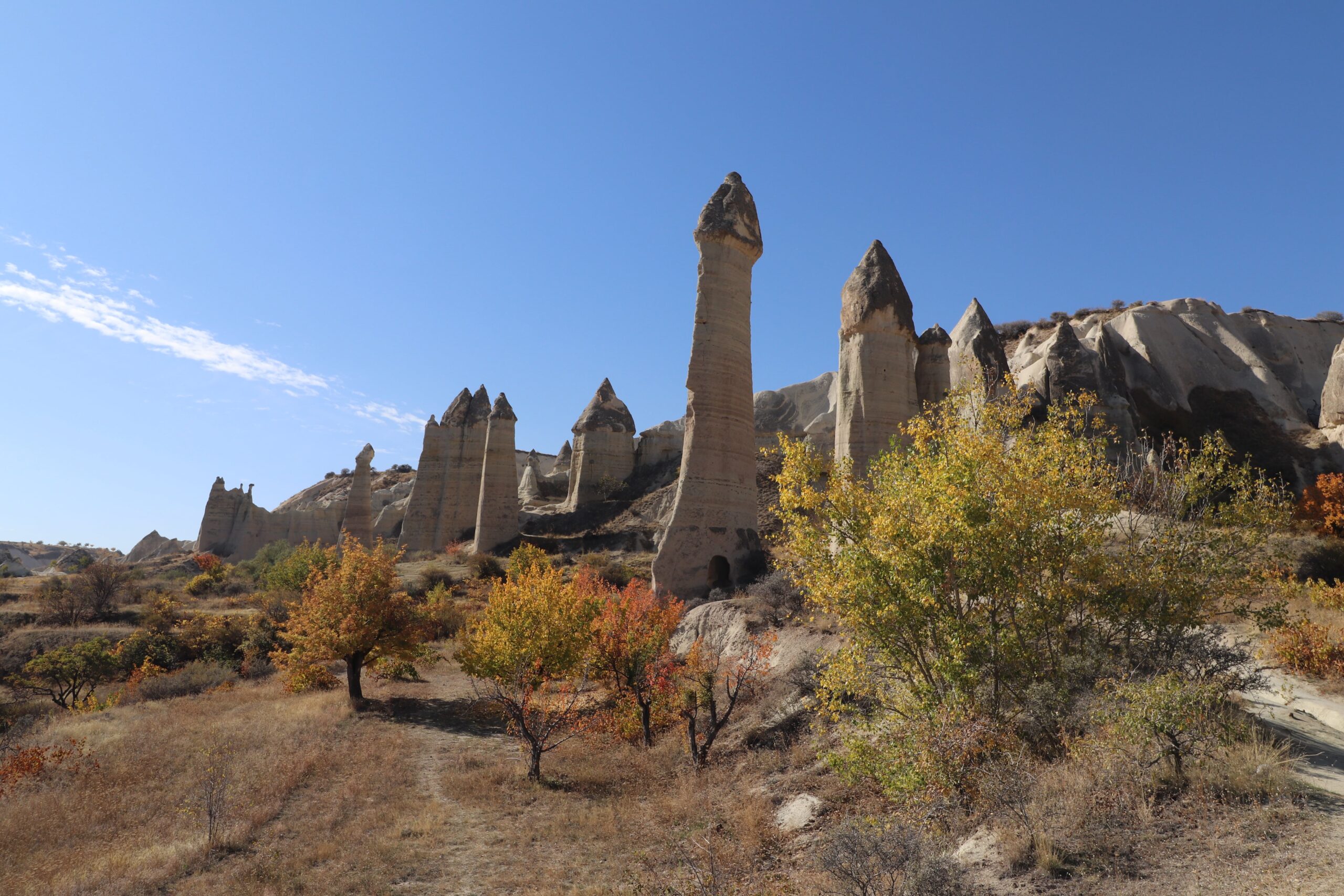
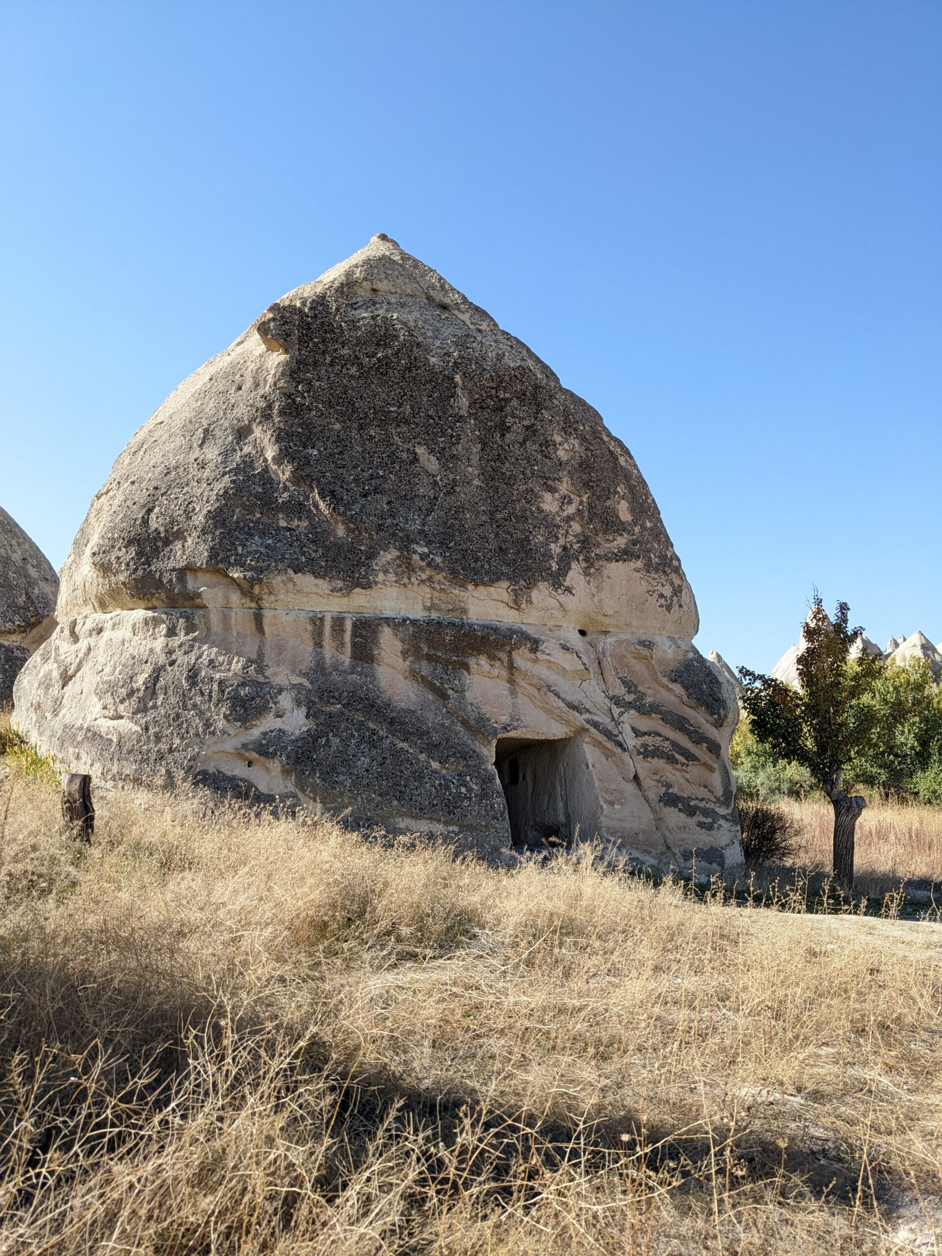
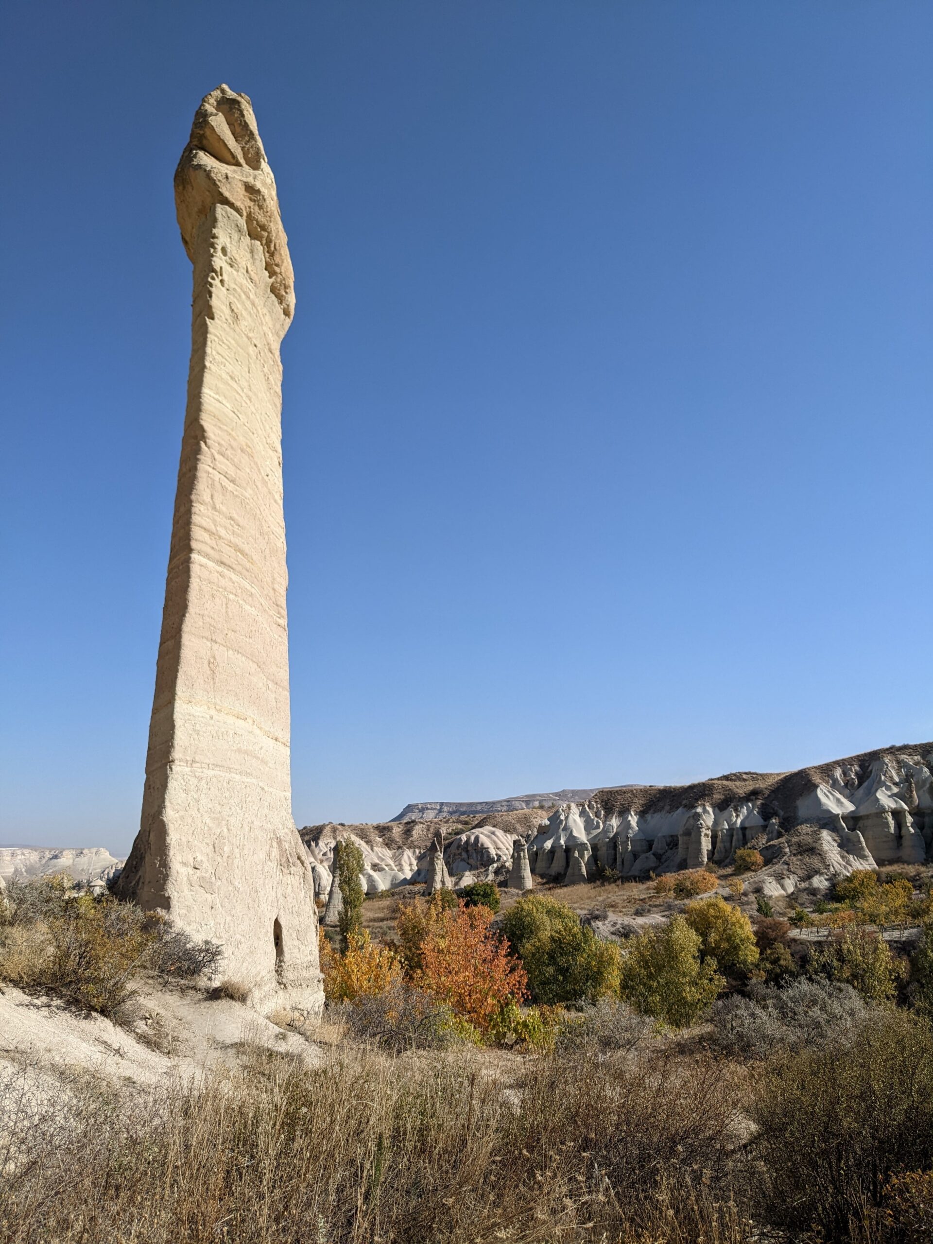
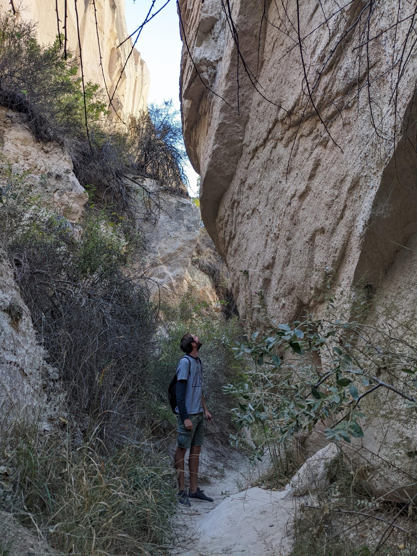
These phallic-shaped structures have been lovingly called ‘fairy chimneys’. Some fairy chimneys are as tall as 40 metres, some had living quarters chiselled in to them, some were used as secret entrances to underground cities. Fascinating, eh? Wander through Love Valley towards this spot. This will bring you into White Valley. You’ll notice the switch in the landscape. The valley narrows, you’ll find tunnels, and then the terrain will change from sandy/dirt to white rock. Follow the path up and over the white rock, until it leads you up and out of the valley about here. Once you get above the valley, there is a man with a juice stand. Buy yourself a well-deserved pomegranate juice.

white valley
white valley

Uchisar Castle

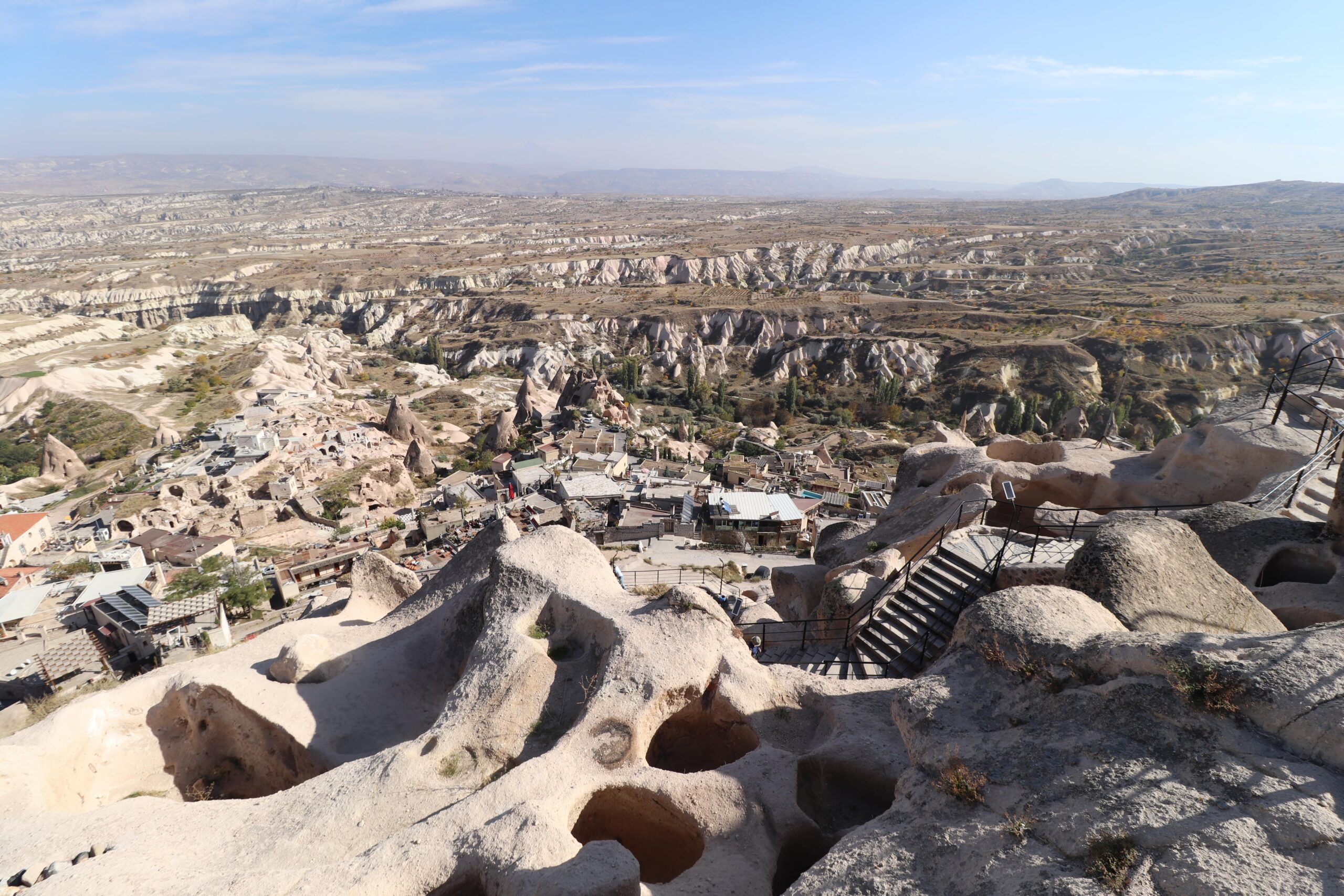
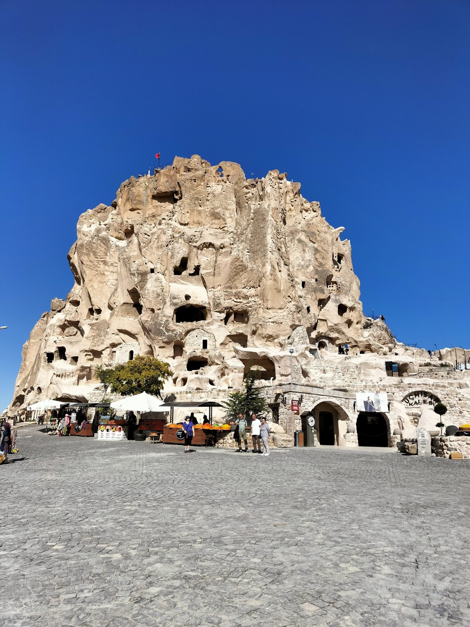
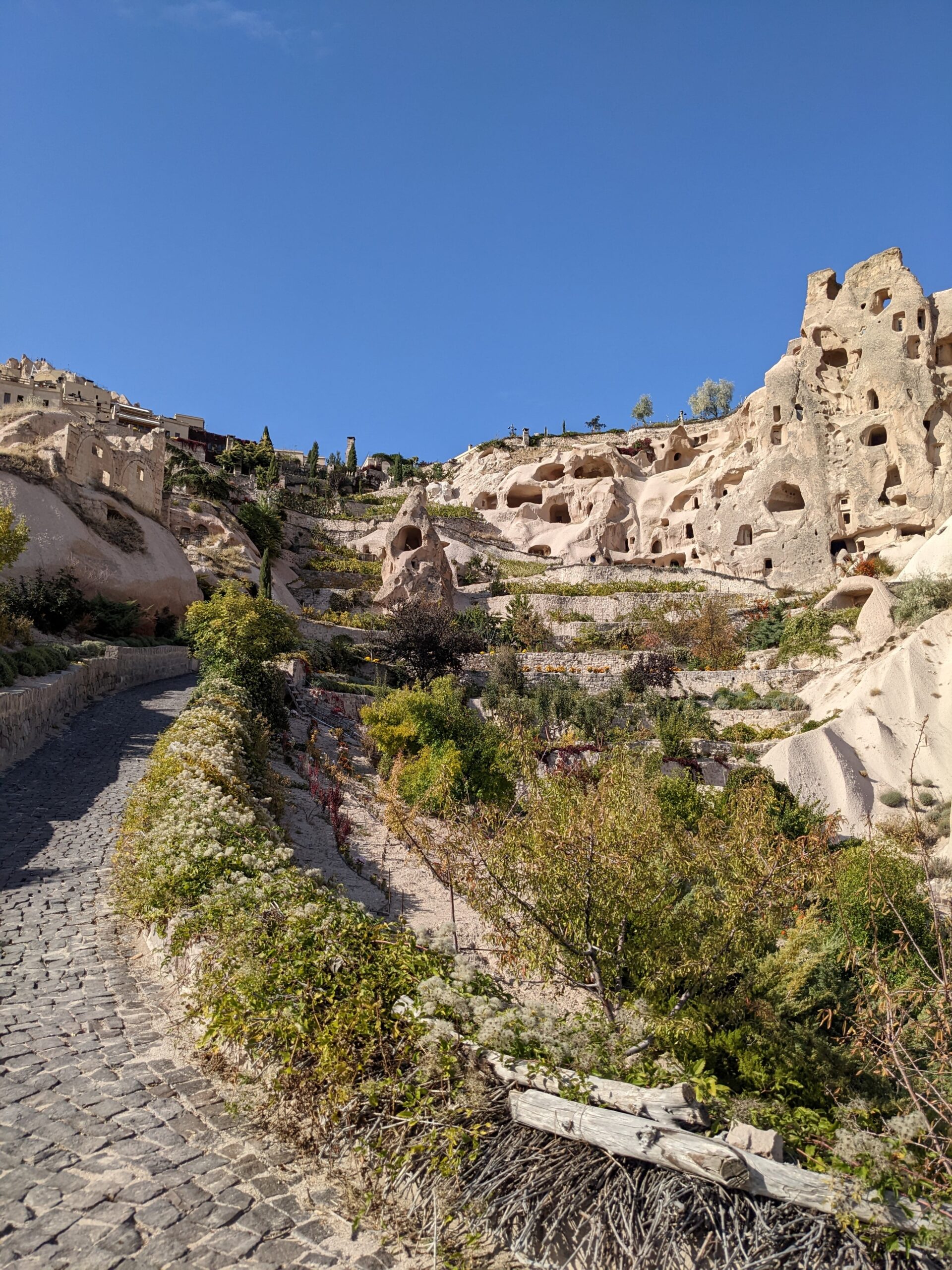
From here, you are just a stone’s throw from Uchisar. Cross the main road and walk up the steps into the town. The castle is right at the top (obviously), and you will have been able to see the castle from almost everywhere on the hike so far because it is the highest point in the region. Unfortunately, there is little information inside the castle as to its history, but it is still a fascinating structure to explore. Rooms were carved into the soft volcanic tuff and the outside has started to erode away revealing the honeycomb-like structure inside. Venture all the way to the top for truly spectacular views across the valleys. 

pigeon valley view from uchisar castle

Even though there isn’t information, discovering the hand-carved rooms and the views are well worth the ticket price. We only spent about thirty minutes inside, grabbed a gozleme on the way out and continued on our journey. Note that the entrance is not included in the Turkey Museum Pass.

uchisar castle

Getting to Pigeon Valley (Guvercinlik)

Head down towards the mosque here, and keep following the path until it becomes a trodden foot path past Tiraz Kale (another small structure carved into the rock).

pigeon valley hike

In Pigeon Valley

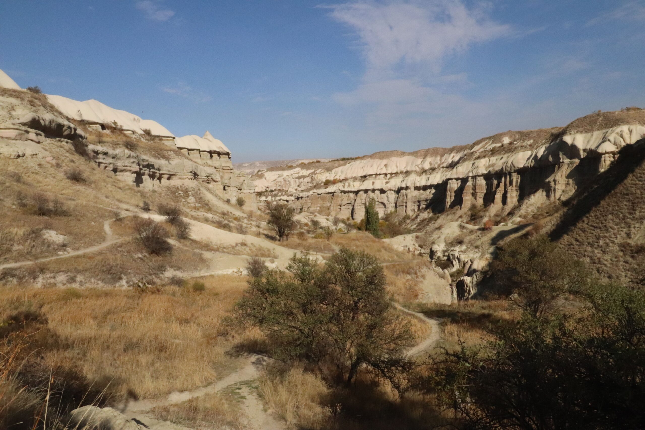
Walk further into the valley to reach this stunning viewpoint over Pigeon Valley here. It is a dead end, so you’ll have to turn back on yourself to continue, but it is worth the slight detour.

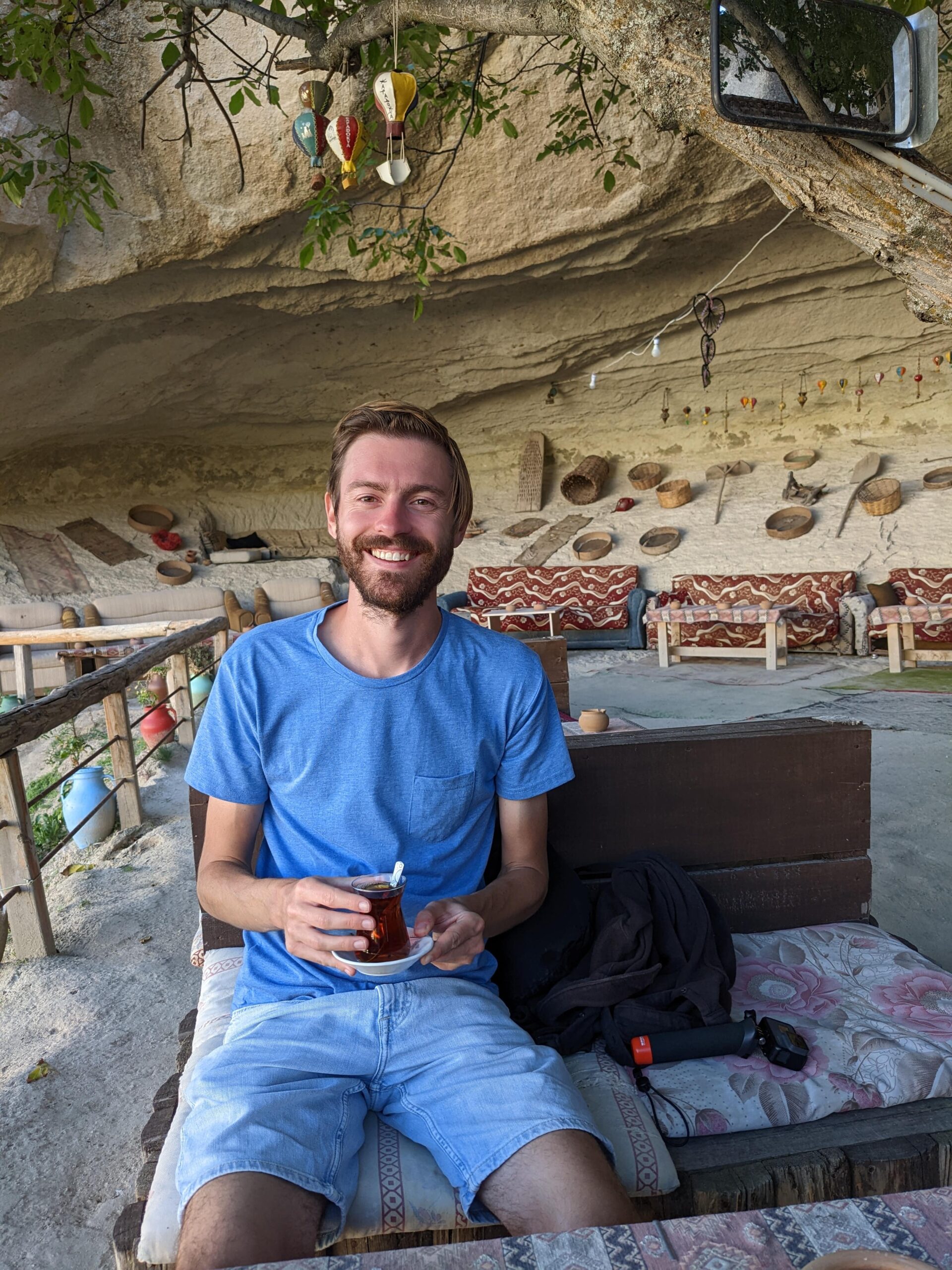
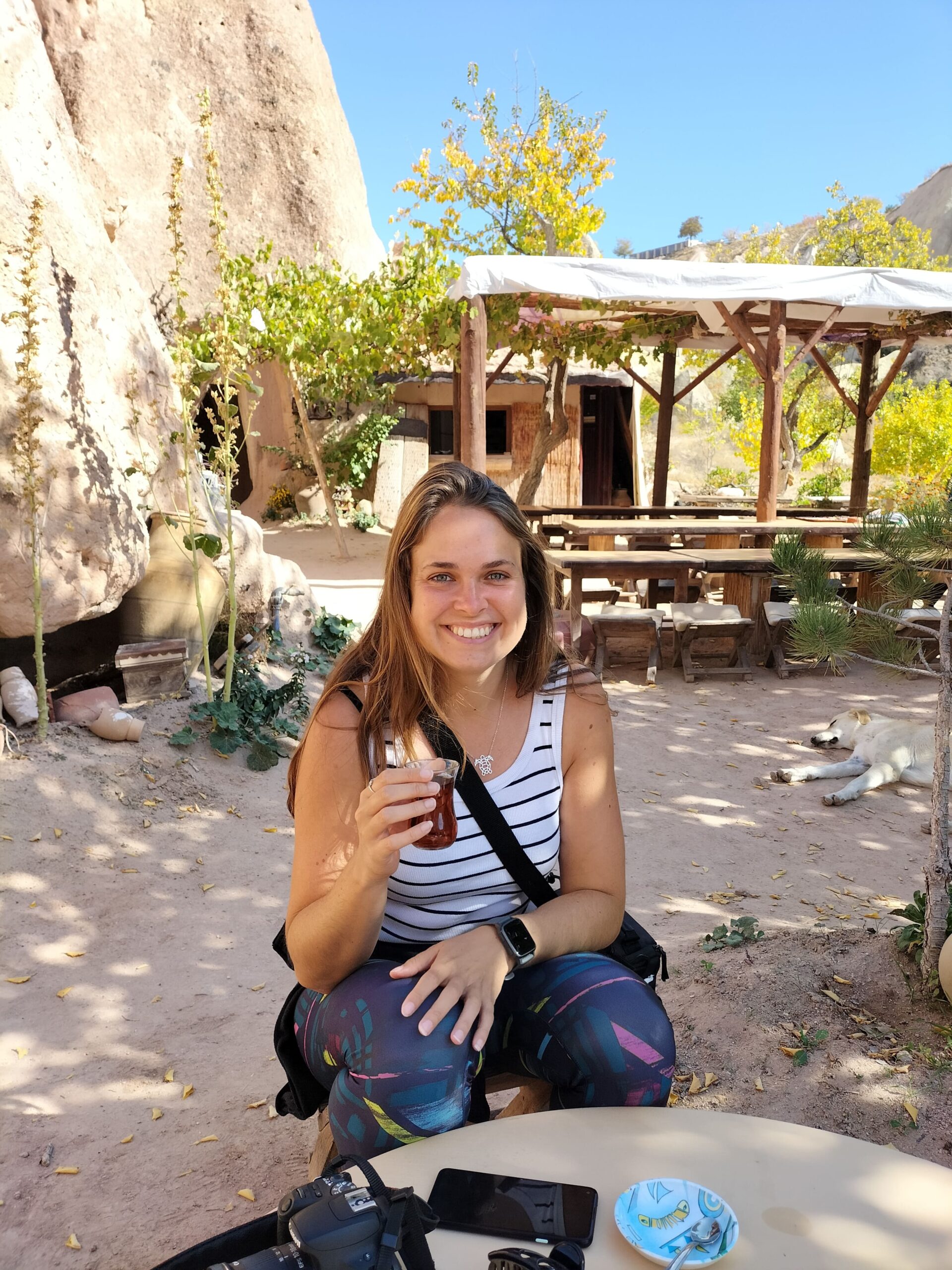
Turn back and take a path to the right to go up and over the valley and come back down past Caglar Tea Garden. This is the most beautiful little spot to stop for a cup of tea. The guy that runs the place is lovely and the decor is so interesting! Once you’ve had your tea, carry on down the path to here which is the end of Pigeon Valley and the start of Goreme town.

pigeon valley hike

Facilities Along the Hike

We did this day hike at the beginning of November; the weather was perfect for hiking. If you’re looking into doing this during the warmer months, be aware that you are completely exposed to the sun for the vast majority of the hike. There are a couple of spots where you could get a drink on the way, but Uchisar has plenty of shops and restaurants.

Find more things to do in Cappadocia here. And another hike to discover abandoned cave churches through Red and Rose Valley right here!

pigeon valley hike

Are you planning a Pigeon Valley hike, or a visit to Love Valley? Or maybe you’ve given our hiking route suggestion a go?

I’d love to hear your thoughts, recommendations and questions.

Thanks for reading!

Like it? Save it!

krusevo p

Follow us on Instagram and Pinterest

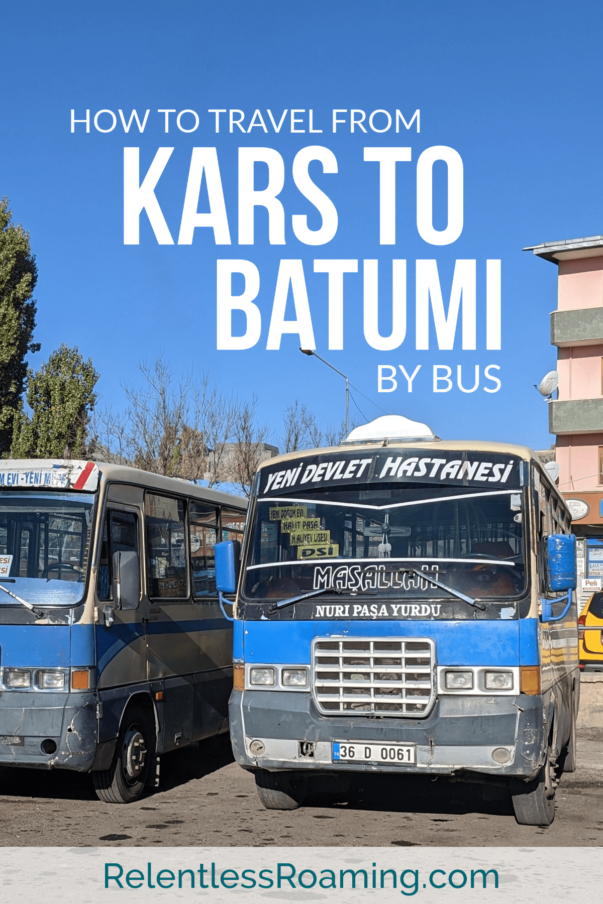
How to Travel from Kars to Batumi by Bus

How to Travel from Kars to Batumi by Bus

How to Travel from Kars to Batumi by Bus

Published on

Travelling from Kars to Batumi is a whole day affair, starting early and finishing late. It is not a difficult journey, but is definitely only a journey that I would recommend for the more intrepid and flexible traveller who is comfortable with not being too comfortable.

Kars (also recognised as little Siberia) is the stop-off point for exploring the abandoned ancient capital city of medieval Armenia, Ani. And if you are heading out to north east Turkey, this is a must! This contrasts hugely with the built up, modern and wacky city of Batumi.

So you’ve donned your winter gear and braved the bitter temperatures in Kars to explore Ani, now you’re ready to venture into Georgia? Find out how to make the journey from Kars to Batumi in this detailed guide.

Ani, kars to batumi by bus

Buying Your Ticket

Head to Eski Otogar (the bus station) in Kars, and go into Yesil Artvin Ekspres. This is THE only company that services this route heading east across the country to Hopa, just south of the Turkey/Georgia border. One bus makes this journey each day, so I would recommend buying your ticket at least a day before you make your journey from Kars to Batumi, rather than on the day. Only cash is accepted as payment, and you must bring your passport.

On the Day

At the Bus Station

The bus leaves at 10:00, so get to the bus station a little early to stow your luggage underneath the bus and get yourself on the bus. The bus is not modern like all the other buses that we caught around the country. There are two seats on either side of the aisle, a small amount of overhead storage for maybe a handbag and little space under the seat for extra storage. The journey will be six to seven hours, so get yourself comfortable and make sure you have plenty of snacks and water. Also, our driver was smoking the whole way, so prepare yourself for that too!

kars to batumi

Leg 1: The Journey across Turkey, Kars to Hopa

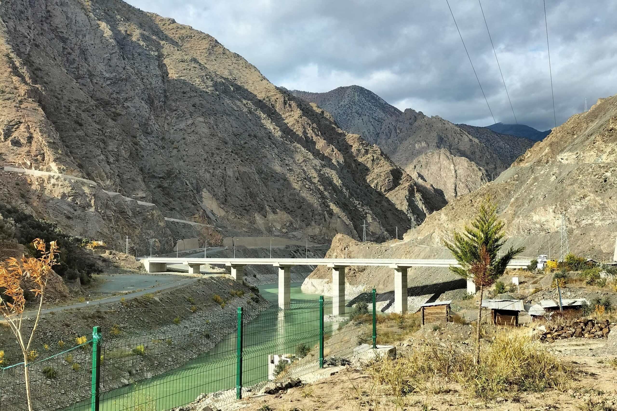
The route is really scenic, journeying through newly built tunnels cut into the mountains. You’ll drive alongside glacial blue rivers and huge mountains, so try to get a window seat. The roads are well maintained and the mountain passes are not treacherous.

There will be one main stop by a river that has seating, a restaurant, shop and toilets. We were given half an hour here for lunch in the middle of the journey – around 14:00 ish.

Along the way, the bus stopped to pick up more people. There were no seats available so people were standing or sitting in the aisle. Be prepared to get quite cosy.

The bus will stop in Hopa at the side of the road at about 16:30.

Leg 2: Hopa to Sarp Border Crossing

Cross the road to where the shuttle buses and huts are, and ask for the bus to Sarp or Georgia (pronounced ‘Gurjistan’ in Turkish).

Check the price before getting into the shuttle bus. We were quoted 20 TL each to pay when getting off the bus. However, the bus stopped half way and we were told to get off. We did, and were then requoted 20 TL each plus 20 TL for each backpack.

‘No, ta’, was what we said. And along with another backpacker taking this same route, we said we would flag down a taxi for the rest of the journey. 40 TL for each of us, meant that the total would be 120 TL and we could definitely get a taxi for cheaper than that.

We walked over to the main road, and they came and chased up saying that we didn’t need to pay extra for the bags. So we jumped back on to the shuttle bus, and off we went to the border.

When we got off the bus, we paid our 20 TL each, but the driver obviously had not been informed that we were not paying for the bags. We stood our ground, translated the info into Turkish as he didn’t speak English, and he waved us through, no problems.

Leg 3: Crossing the Border

This border crossing felt like an airport. It has travelators because the place is so huge. Scan your bags and get your passport stamped on the Turkish side, scoot through all the duty free shops, and then scan your bags and get your passport stamped on the Georgian side.

Welcome to Georgia! You will love it here in this beautiful country.

On the Georgian side of the border, there are ATMs, toilets and even free tourist information brochures. Get some cash out to pay for the next leg of the journey.

kars to batumi

Leg 4: Marshrutka from Sarpi to Batumi

A marshrutka is a term used to describe a minibus across the Caucasus. Marshrutkas will be parked up outside the border. Find one that says Batumi (ბათუმი) and jump on. There will likely be no luggage space so squeeze your bag on as best you can. The journey will take 20/30 minutes in to the town centre and cost 2 GEL, payable when leaving the marshrutka. Keep track of your location and your accommodation location on Google Maps/Maps.me, and then say to the driver when you want to get off along the route.

When we took this journey, we arrived into our accommodation in Batumi at 19:00, having left our Kars accommodation at about 09:00.

the octopus cafe, kars to batumi
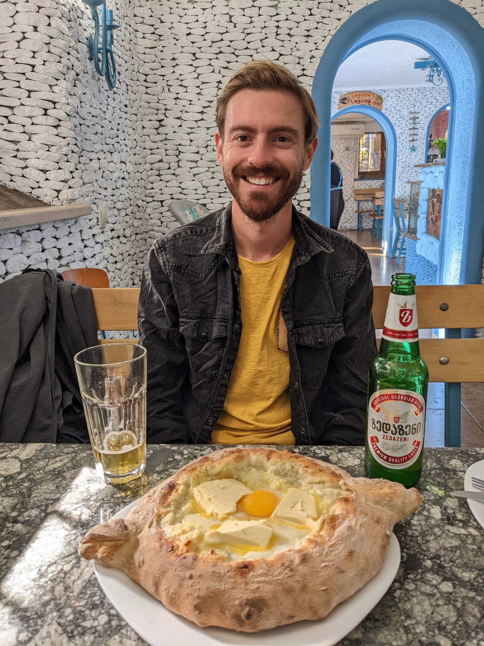
adjarian khachapuri, kars to batumi

Top Tips

  • Download a map of Georgia on Maps.me and Google Maps so that you can track your location offline.
  • Mark the location of your accommodation in Batumi on Google Maps so you can work out when is best to get off the marshrutka on the Georgian side.
  • Have a small amount of Turkish lira to pay for leg 2 to the border.
  • Maybe have a small amount of Georgian lari to pay for the final leg into Batumi (but there is an ATM at the border).
  • Bring snacks and water – this is a long old journey.
  • Don’t let the shuttle driver for the last leg to the Turkish side of the border play silly buggers and charge you extra for bags. Stand your ground and/or threaten to get a taxi.
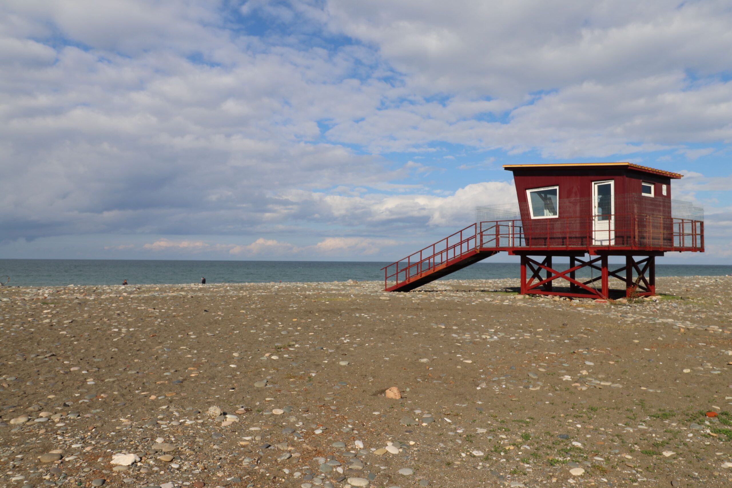
batumi beach

Have you travelled from Kars to Batumi by bus? Or are you planning on travelling this route?

I’d love to hear your thoughts, recommendations or questions.

Thanks for reading!

Like it? Save it!

krusevo p

Follow us on Instagram and Pinterest

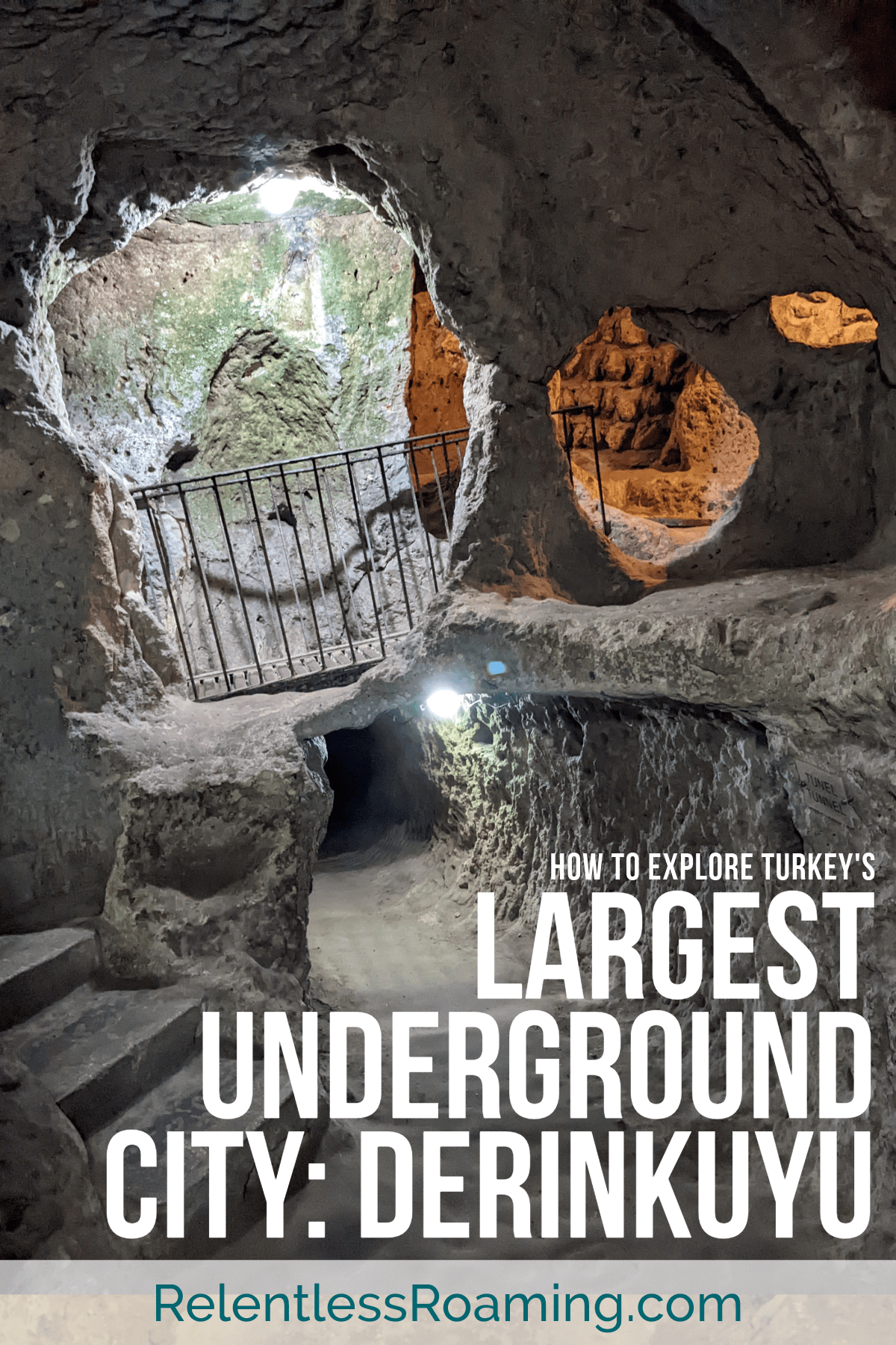
Complete Derinkuyu Travel Guide: The Lost Underground City

Complete Derinkuyu Travel Guide: The Lost Underground City

Complete Derinkuyu Travel Guide: The Lost Underground City

Published on

Derinkuyu is an ancient underground city hand-carved into the soft volcanic rock, understood to be inhabited from the Bronze Age. It was rediscovered in 1963 by a Cappadocia homeowner who was doing house renovations and stumbled upon a room and tunnels. Can you imagine that?! 

How astonishing that a city was hand-chiselled from the rock below ground way way back before any modern technologies?! Like, incomprehensible in my book.

Anyway, evidently, I was excited to explore Derinkuyu: officially the largest underground city in Turkey. And, yes, that does mean that there is more than one! It is understood that there are 200 underground ‘cities’ in Turkey, many of which link together through miles of tunnels.

In this Derinkuyu travel guide, we will answer all the questions that we had before visiting, in the hope that it will help you all out too!

derinkuyu travel guide

Where is Derinkuyu?

Derinkuyu is located in Cappadocia in the centre of Turkey, about a thirty minute bus ride from Goreme or Nevsehir. Find out about more things to do in Cappadocia here. And if you fancy hiking through otherworldly landscapes and abandoned cave churches, take a look at our hiking route with Maps.me pins through Red Valley and Rose Valley.

cappadocia, derinkuyu travel guide

How to visit Derinkuyu from Goreme

Goreme to Derinkuyu

You’ll need to take two buses to get there, but it’s pretty quick and easy. Go to the bus station in the centre of Goreme to get to the bus to Nevsehir. It leaves every thirty minutes. When you get on the bus, tell the driver that you want to go to Derinkuyu.

When the bus reaches the city centre, the driver will point to where you need to go for the next bus: you’ll basically cross the road to get a bus going in the opoosite direction.

The minibus will have Derinkuyu written on it, so you can’t really miss it. If you’re not sure, ask the guy who runs the kebab shop at the bus stop. He was helping everyone with the buses, and even managed to hunt down ‘the captain’ as he worded it (meaning the bus driver) for us.

The bus to Derinkuyu takes about 25 minutes. It will drop you at Derinkuyu bus station which is a two minute walk away from the underground city entrance.

Derinkuyu to Goreme

The buses back to Nevsehir leave Derinkuyu every thirty minutes, so wander back to the bus station and catch the bus to Nevsehir city centre.

When you get out at Nevsehir, stay on the same side of the road this time and wait for the next shuttle bus to stop.

Before getting on double check if it will stop at Goreme by asking the driver. The bus that we got back wasn’t meant to stop at Goreme, but it made a stop there for us anyway.

The buses for each leg are really regular and the drivers are really flexible with where they can stop. Everyone is also really helpful in directing to the correct bus, so don’t be hesitant to ask.

It was a really straight forward journey both ways and we only had to wait 5/10 minutes in between buses.

All buses only accept cash payment on board.

Tickets for Derinkuyu

Tickets cost 300 TL as of 2024. There is next to no signage or information inside, so if you want more explanation, it would be best to arrange a guide. We didn’t have a guide, but had done a load of research beforehand so we had a better idea of what to expect. Derinkuyu entrance is included in the Turkey Museums Pass.

Is there a marked route through the city?

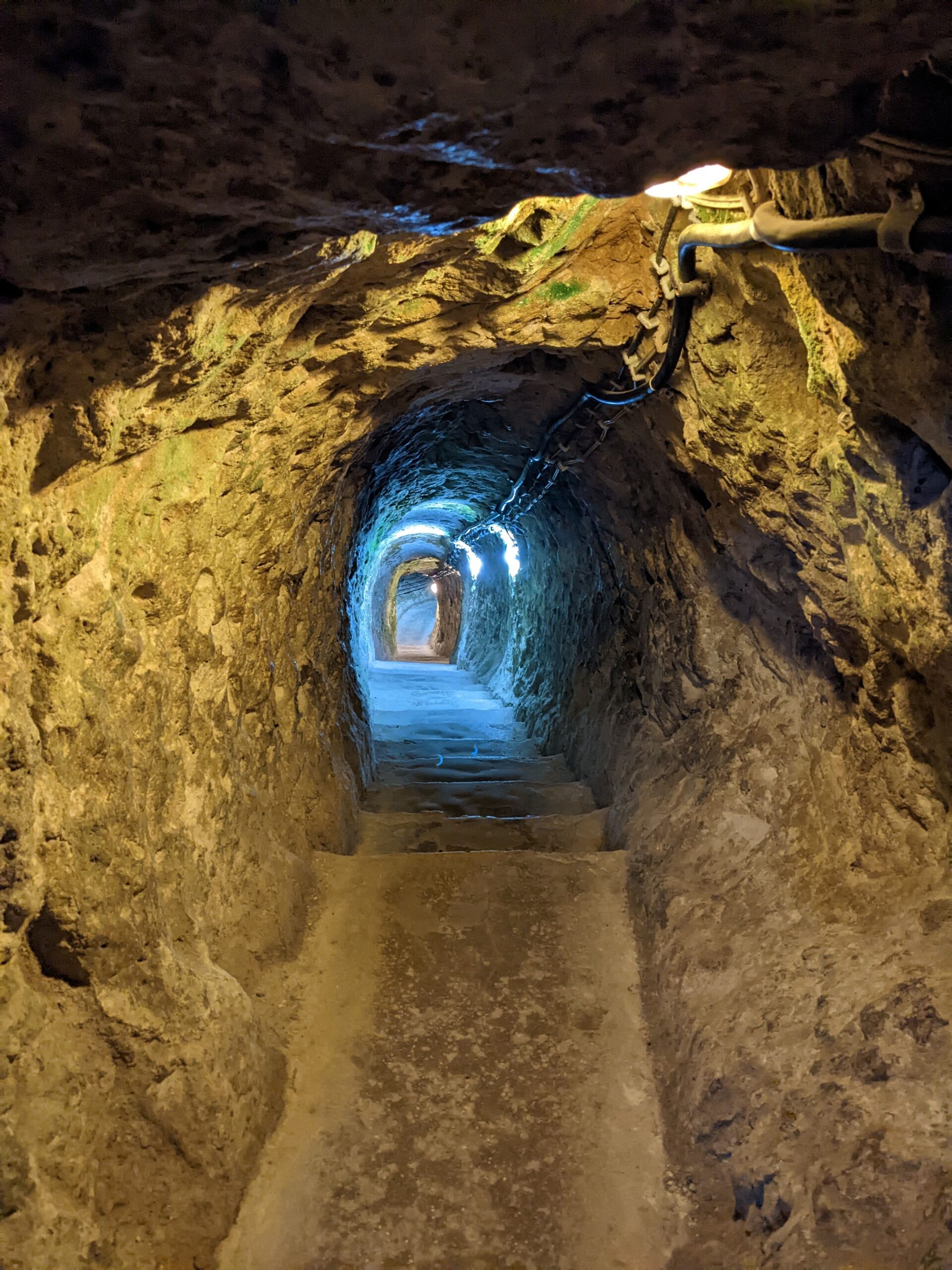
Yes! It’s not easy to get lost in Derinkuyu. There are red arrows which show you the route through the city, and there are blue arrows that show you the quickest way to the exit. However, I would recommend that you don’t just stick to following the red arrows. There are plenty of nooks and crannies for you to explore that are not indicated with the red arrows. Even venturing off to these, you’ll end up coming back to the main route to go any further. My point being, even if you stray from the red arrows, you won’t get lost.

Is it claustrophobic?

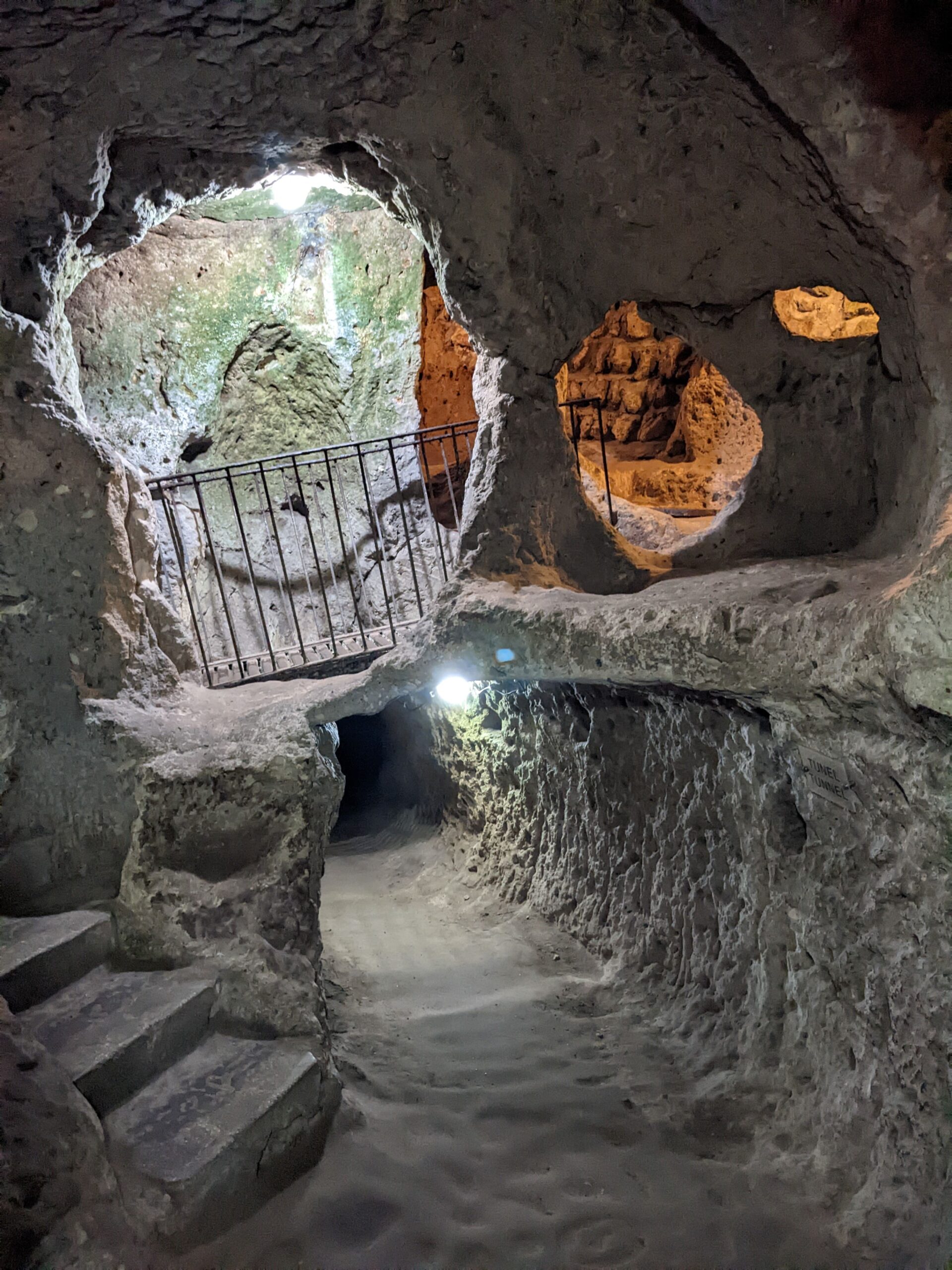
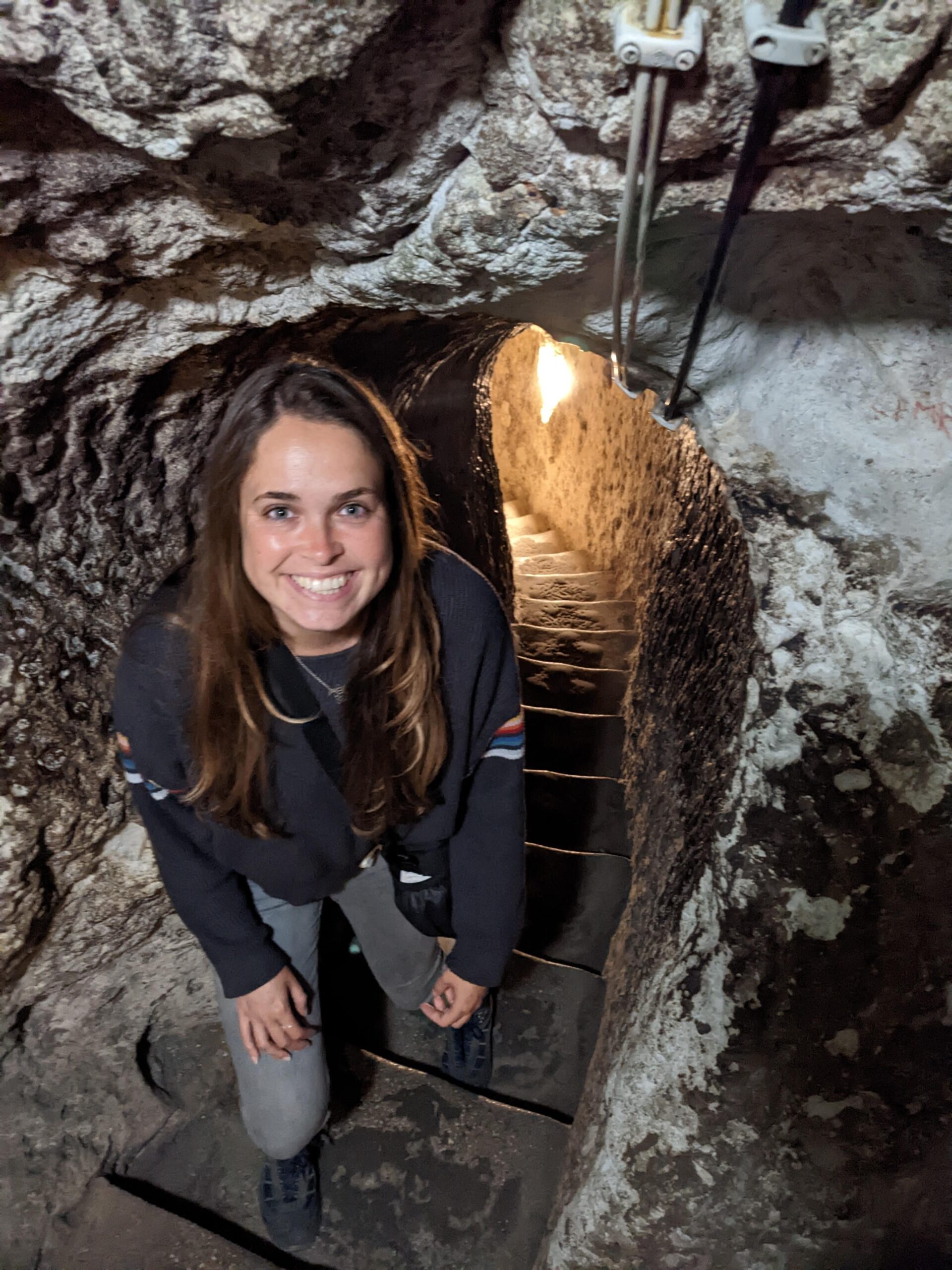
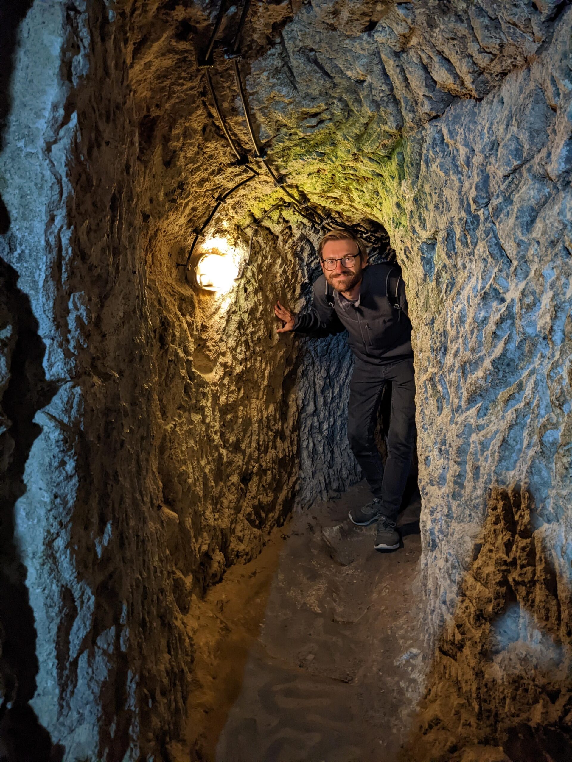
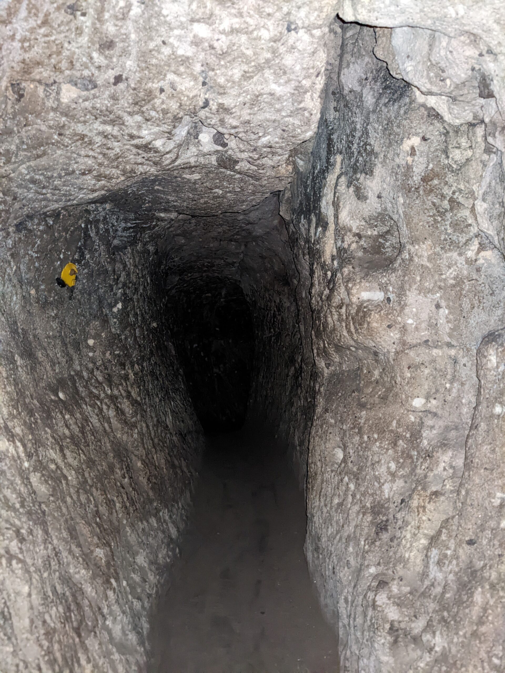
I thought that the majority of it was quite spacious and open. Yes, there are some passageways that are particularly narrow with very low ceilings. I (at 5’6’’) had to fold myself in half to get through some of them and Chris (at 6’1’’ and ¾) struggled.

As a self-proclaimed catastrophiser, I had to really compose myself to venture underground. In my head, this entire city could collapse at any time and no one would ever find me because it’s all undergound!

Crazy, I know. But, in all seriousness, I felt fine. There are plenty of ventilation shafts, so it doesn’t get too stuffy. There are signs pointing you to the route through the city, but also to the exit. So, should you need to step out, you know where to go. As long as you visit at a relatively quiet time, it should be fine.

Quietest times to visit

We visited in November and it was relatively quiet. We also made sure that we got there for about midday. From what I had read about the organised tours of Cappadocia, they visit Derinkuyu in the morning or afternoon, and stop for lunch. So we went during the time that any tours would be on their way to lunch/eating lunch. 

Funny Story

Before we scanned our tickets to go in, I asked the guy manning the barrier if there were ‘lots’ of people down there at the moment.

He looked at me confused and told me not to worry, there are no ‘lost’ people down there. Lots and lost, very similar sounding.

My question was a very normal question, the question he thought I asked made me sound like I was unhinged!

And how did I respond?

I said, ‘Thank you very much’, which just confirmed to him that I had in fact asked the question that he thought I had (even though I hadn’t).

Tell me you’re an awkward Brit without telling me you’re an awkward Brit!

How long does it take to explore the underground city?

We spent about an hour, exploring every narrow path we could find. Off the main path, you’ll likely need to switch on the torch on your phone to be able to see. I’m sure you would get through it all a lot quicker if you only followed the red arrow route. Only 10% of the city is open to the public.

How large is Turkey’s largest underground city?

Derinkuyu was large enough to house 20,000 people plus livestock, so pretty big! The city had eighteen levels and was 85 metres deep in to the ground.

History of Derinkuyu

In use since the Bronze Age, Derinkuyu was expanded by Greek-speaking Christians during Roman times into a city with multiple levels. The city was used to house and protect the persecuted Christians in the Arab-Byzantine wars, Mongolian invasions, from the Ottoman rulers, and continued to be used to shelter the Greek Cappadocians into the 20th century. In 1923, Turkey deported the Christian population to Greece, leaving the underground city abandoned and unknown. In 1963, Derinkuyu was rediscovered, and opened to the public in 1969.

How did the population remain undetected and protected in the city?

The city housed up to 20,000 people. Mind-blowing, right?! There were dwellings, schools, churches, wine and oil presses, areas for livestock, ventilation shafts and wells. They would only cook once per month at night so as not to give away their whereabouts to the enemy with smoke from the fires. Water was gathered from the deep wells cut into the rock, which is what gave the city its name: Derinkuyu means ‘deep well’ in Turkish. The underground city was equipped with everything required to sustain life underground.

Heavy circular stone doors were used in case of enemy penetration into the city. The doors could close off entire levels of the city to keep people safe on the other levels. The narrow entryways and corridors meant that intruders could only enter in single file and so could be killed one by one. The city has many concealed exits so that people could flee if the city was discovered.

Derinkuyu or Kaymakli?

This is the question. We only visited Derinkuyu, however, I researched before to help make the decision.

  • Derinkuyu is the largest underground city, while Kaymakli is the widest.
  • Derinkuyu has wider passageways, while Kaymakli is more adventurous with smaller passageways.
  • Derinkuyu is visited as part of the popular organised ‘green tour’, but Kaymakli sees the most visitors.
  • Derinkuyu only has one passage to the bottom level, meaning that you have to wait for others to come down before you can go up. Kaymakli has several.
  • Entrance fees are the same for both.
  • Derinkuyu is a little further away, but for both, you catch the bus from the same location in Nevsehir city centre as mentioned above for Derinkuyu. One bus will say Derinkuyu on the side, the other will say Kaymakli. The buses that go to Derinkuyu, drive past Kaymakli, but do not stop there.

For me, the deciding factors were Derinkuyu being the largest, having wider passageways, and receiving less visitors. I was uncertain about how claustrophobic it would be, so less people and less narrow were the winning factors for me.

Have you been to Derinkuyu? Or are you planning a trip this way?

I’d love to hear your thoughts, recommendations and questions!

Thanks for reading.

Like it? Save it!

krusevo p

Follow us on Instagram and Pinterest

How to Get + Use the Istanbul Transport Card | Istanbulkart

How to Get + Use the Istanbul Transport Card | Istanbulkart

How to Get + Use the Istanbul Transport Card | Istanbulkart

Published on

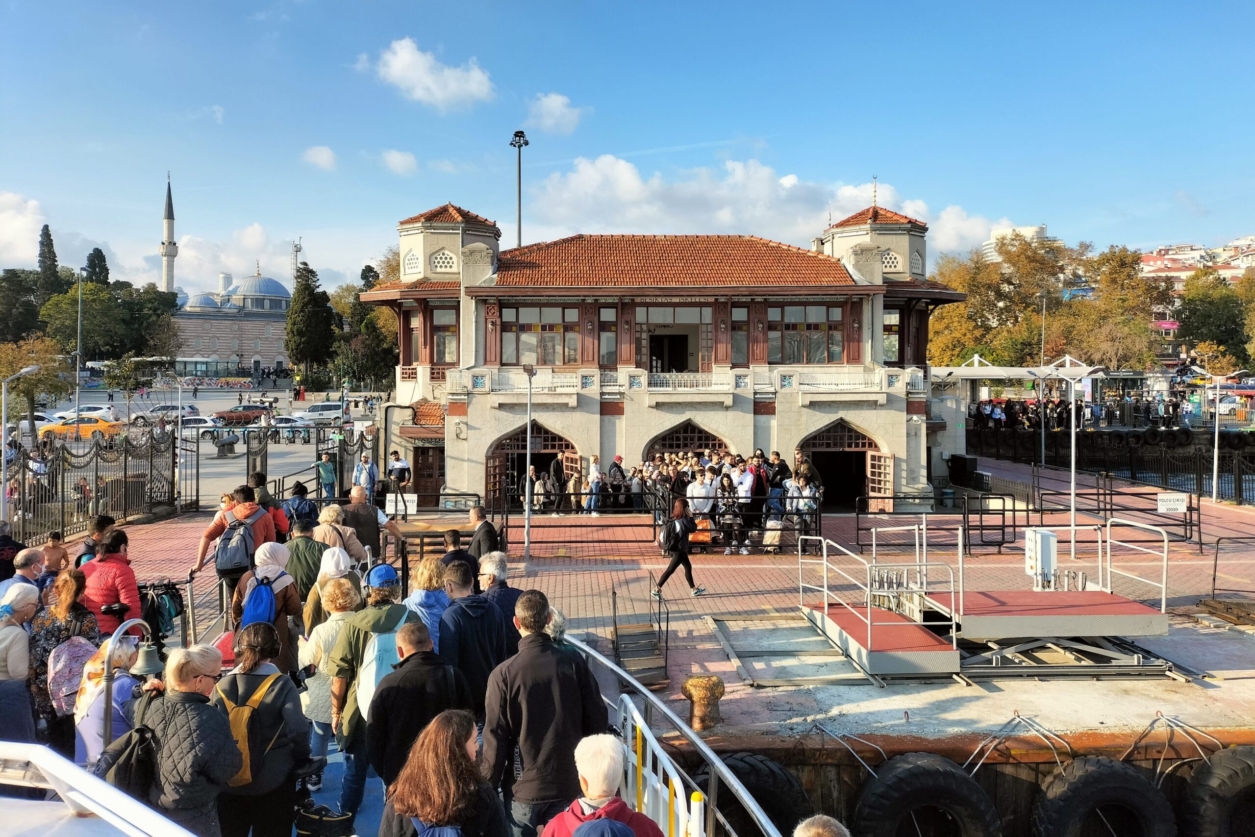
Istanbul is a very-well connected city. It has buses, trams, ferries, and a metro that can easily get you almost anywhere in the city. Istanbul is also huge and is separated into sections by the Bosphorus Strait, meaning that it is not easily walkable. Visiting Istanbul, you will no doubt need to use public transport on several occasions, and for this, you will need an Istanbul transport card known as the Istanbulkart.

When we arrived into Istanbul after getting a night bus from Plovdiv, Bulgaria, we had to buy our Istanbul transport card while we were half asleep, and it would have been so much easier if we had known all the ins and outs beforehand. So, we have put together a handy guide with all the information that we would have liked to have had about the Istanbulkart.

Where You Can Use the Istanbulkart

Almost all public transport around Istanbul accepts the Istanbulkart – trams, trains, buses, metro, ferries etc. Tap your card at the turnstiles or onboard devices depending on the transport you are taking.

Where to Get an Istanbulkart

Find machines at major transport hubs such as the airports, main bus stations or train stations. There are also machines dotted around the city in metro stations, tram stations etc. where you will be able to buy the card. The most common machines are yellow with Biletmatik written on the front. There are also larger blue machines that will dispense an Istanbulkart.

How to Get an Istanbulkart

The Istanbulkart is anonymous, so the HES code that was required during COVID times is no longer. Go to one of the machines, change the language to English, and select the Istanbulkart. It is red and may be named ‘anonymous’ if not showing as ‘Istanbulkart’.

Select how much money you want to add to your card. Feed the amount you want to add on to the card, plus the price of the card into the machine. Some machines at larger transport hubs such as Esenler bus station will accept card transactions with a small fee.

FYI the machines have a pretty aggressive countdown timer. We were timed out on at least three occasions while trying to work out how much money to put on to the card.

How Much to Add on to the Istanbulkart

I would advise against adding a large amount in one hit. If you don’t use it up, it’s not a straight forward procedure to get the money back. Otherwise, you would have to sell it on to another traveller.

When we were in Istanbul in October 22, one tap cost 6.67 TL, this appears to have now increased to 17.7 TL as of Jan 24! The most up to date fees are available here.

Even though this seems like a huge increase, the value of the lira has dropped.

As of Jan 24, £1 = 38 TL.

In Oct 22, £1 = 21 TL ish.

17.7 TL in Jan 24 works out to be about 46p. So you are still getting huge value for money!

If you were to, say, get a bus and then a ferry straight after, the second tap will be discounted. If you then used another form of public transport, you would get a further discounted rate. However, this only appeared to work for us about 60% of the time so don’t bank on it.

How to Top Up the Istanbulkart

You can easily top up the card at any yellow or blue machine around the city. These are available at most transport stops.

Change the language to English. Place your card on the reader and wait til the machine recognises it. Add the cash into the machine. Wait for the machine to register the note and it will add it to your card.

Most machines only accept cash for top ups, but machines at major transport hubs may also accept card payment for a small fee.

How Many People Can Use One Istanbulkart?

The Istanbulkart can be used by up to five different people. So if you are travelling in a group of five or less, buy one card only. At the turnstile, one person will tap the card for each person to go through before going through themselves. The discounted rate for doing multiple journeys back to back will only apply to one person’s tap, not all five.

E.g. Five people go from Esenler to Ulubatli by metro paying 9.9 TL per person on one Istanbulkart. Then these five people travel from Ulubatli to Fener by bus on the same Istanbulkart. One person will tap at a discounted rate, while the other four people will tap through at 9.9TL still.

How to Check Your Card Balance

There is an option at the yellow and blue machines to show the balance on your card. Otherwise, when you tap through the turnstiles, it will show you how much you are being charged and what is left on the card. There is also an app, but I have heard negative reviews so we didn’t use this.

What the Different Tap Sounds Mean

When you tap through a turnstile or tap onboard, there will either be regular sound, an ‘alert-type’ sound or a ‘you don’t have enough money on your card’ rejected sound. If you get the alert sound, don’t panic, it’s just the machine warning you that you are getting low on funds. Only if you have the rejected sound and a red screen, will you not be allowed to get on the transport.

The Different Types of Istanbulkart

There are several Istanbulkarts. The red one is for non-residents, so us tourists and travellers. The blue and yellow cards are personalised cards for locals.

istanbul transport card, istanbulkart

Looking for things to do in Istanbul once you have your Istanbulkart up and running? Read about our top things to do in Istanbul here.

Have you travelled Istanbul with the Istanbulkart? Or are you planning on heading out to Istanbul?

I’d love to hear your thoughts, recommendations and questions.

Thanks for reading!

Follow us on Instagram and Pinterest

The Ultimate Red and Rose Valley Hike (With Maps.me Pins)

The Ultimate Red and Rose Valley Hike (With Maps.me Pins)

The Ultimate Red and Rose Valley Hike (With Maps.me Pins)

Published on

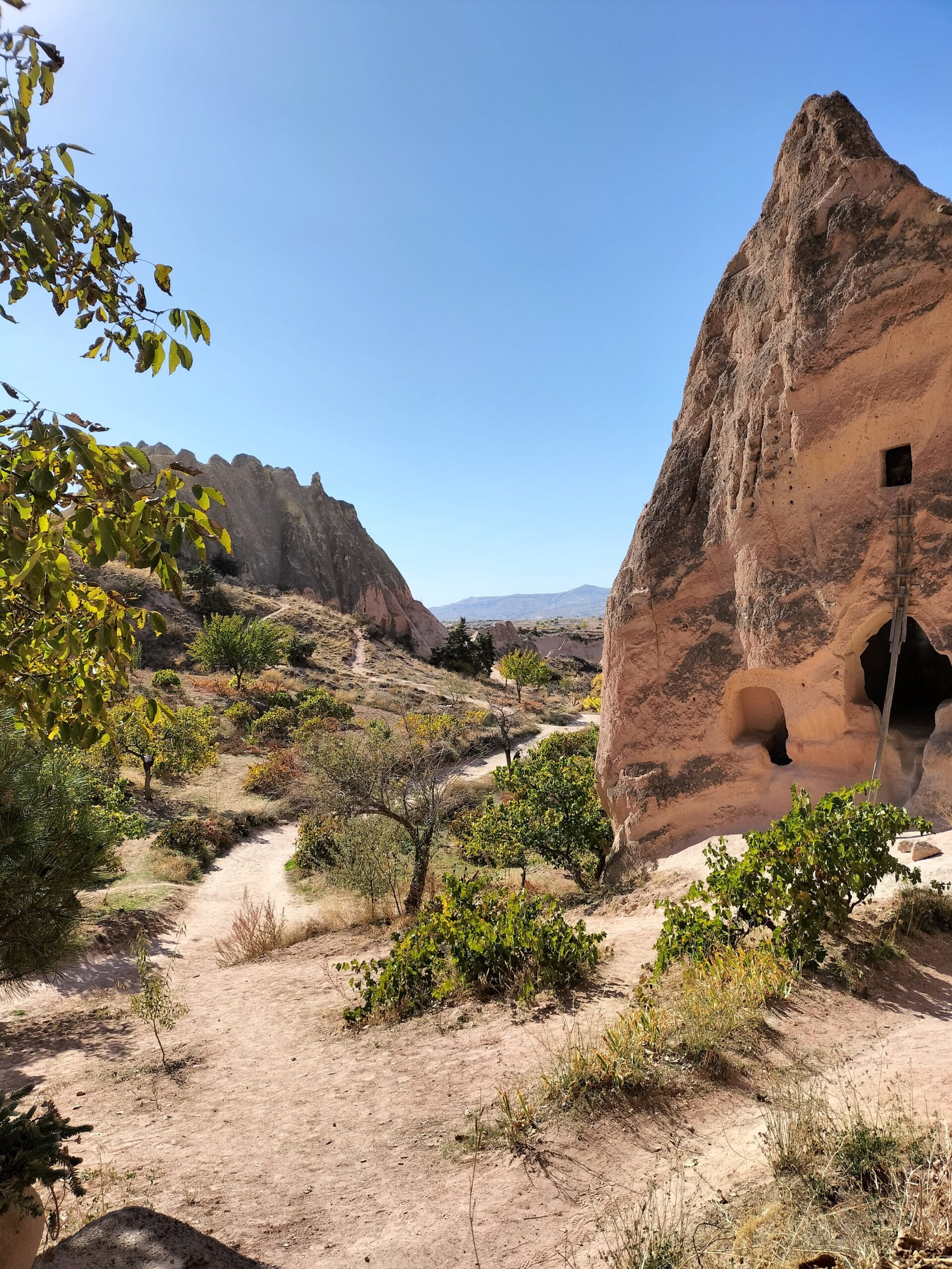
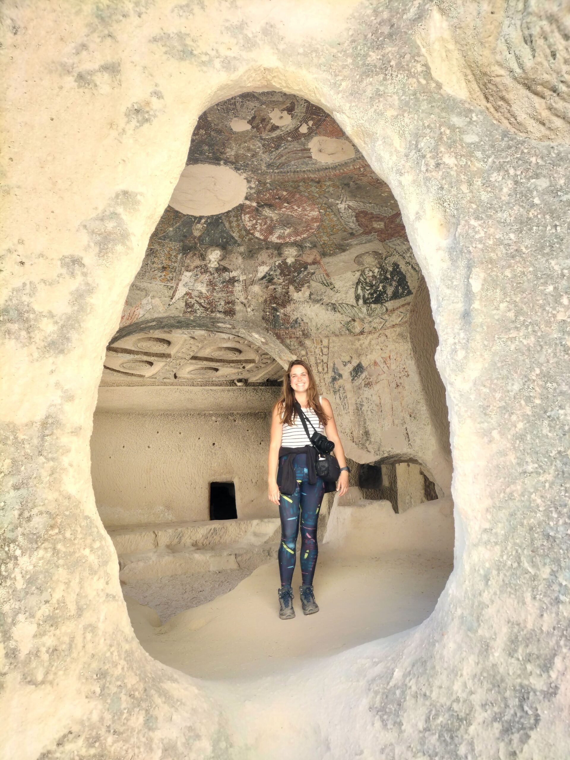
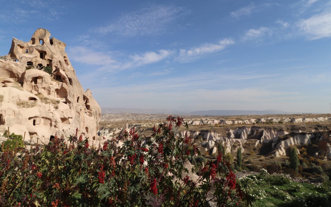
Cappadocia is full of abandoned churches and houses carved in to the bizarre-shaped formations of soft volcanic tuff. Rose Valley in particular, has some really spectacular cave churches where you can still find staircases, decorated pillars and ancient artwork. Scramble your way up to the entrance, and marvel at the intricate interior decoration.

Red Valley has tight hand-carved tunnels and isolated tea houses. So combine the two, follow this Red and Rose Valley hike and you’ll experience something really special!

red and rose valley hike, rose valley view

We spent the best part of a day hiking this route, and the ancient abandoned buildings that we stumbled upon were breath-taking. There is some up and down and some scrambling required to get into a few churches, but generally, this route really isn’t too taxing.

Looking for more info on Cappadocia? Take a look here.

Fancy giving it a go? Find the route and our favourite cave churches, tunnels and tea houses below.

Top Tips

Number 1: Download Maps.me on to your phone and also download the map of Cappadocia so that you can refer to it offline, and mark the pins mentioned in the post.

Number 2: There are no entrance fees to any of the valleys so you can wander to your heart’s content.

red valley hike

red and rose valley hike

In Red Valley

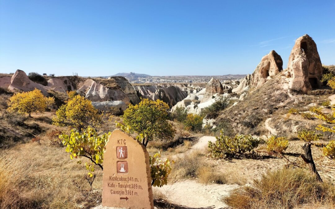
Continue straight past the church and take the next main route to the left. Pin this spot to take you there. This is Red Valley. The landscape changes, the valley gets very narrow and there are a lot of plants.

The route again, splits in two. If you’re feeling adventurous, turn left at the fork. This takes you up a dodgy looking metal staircase and into a hand-carved tunnel.

Pin this point and head over there. This is a beautiful little spot where you can stop for a tea or coffee and use the toilet. There is also a very small church with intricate painting. When we were there, it was locked, but I managed to get a photo through the gate. Head upwards to here at this pin. There are views that go on for miles from here over Red Valley and Rose Valley.

red valley hike
rose and red valley hike

Into Rose Valley

Go back down into the valley, but off to the right this time. Go towards this pin which takes you to another viewpoint over the valley before you head down into Rose Valley. And this is where the abandoned churches really are spectacular!

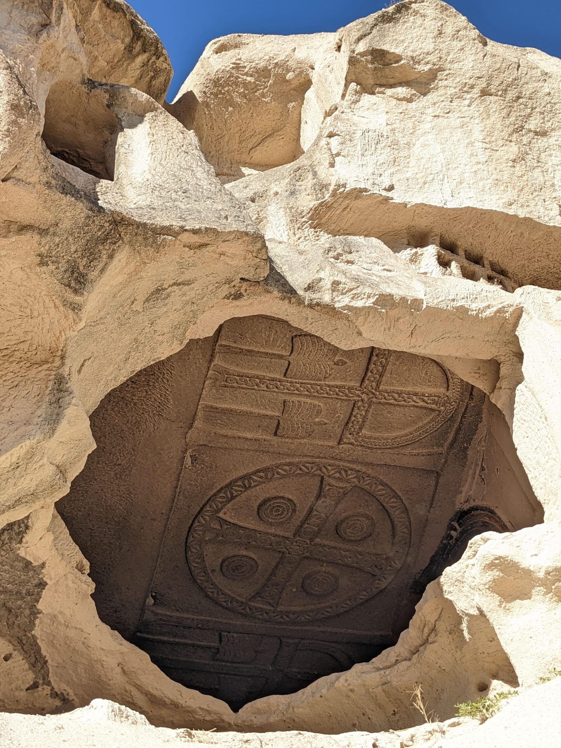
The first one you should pin is the Columned Church here. Cross the bridge to get inside and go up the staircase. The architecture is outrageous! Tall columns and an arched ceiling has been cut into the rock. Explore the room tucked round to the right and look up. The ceiling has such detailing, it really is spectacular.

Absolutely one of my favourite churches we saw; I was shocked. But there’s much more to come and dare I say it, it gets better.

bridge to abandoned church, red and rose valley hike
Columned Church, red and rose valley hike

Two More Rose Valley Churches

Pin this point and follow the route this way to the cave pigeon loft and cave beehive. There are signs to warn you about the bees, and the it is a little back from the path, so it’s fine (just don’t go poking around in the beehive!).

After the beehive, take a right and head on over to Hacli Church here. At the base of the church is a little cafe which is a lovely little place to stop for a break. Once you’re rehydrated, head up the stairs and inside the church. The artwork is in such phenomenal condition!

Hacli church artowrk, red and rose valley hike

Head over to this pin to take you the right way. The other route is marked as a ‘difficult pass without ropes’. If that’s your bag, go for it; it’s not my bag. Then walk towards this pin. This abandoned church requires a bit of effort and grippy shoes to scramble up to the entrance, but it is so so worth it.

Once inside, there are three different areas you can explore. One appears to be full of dovecotes, the central part has huge and intricate crosses carved into the ceiling and the area closest to the entrance has strikingly colourful artwork all over the walls and ceilings. How is the artwork still in such great condition?!

This was our last stop before heading back to Goreme. Walk back towards the main road and follow the signs back into town.

Facilities Along the Hike

We did this day hike at the beginning of November; the weather was perfect for hiking. If you’re looking into doing this during the warmer months, be aware that you are completely exposed to the sun for the vast majority of the hike. There are a couple of spots where you could get a drink and a snack, and use the loo. I would recommend you bring a packed lunch for this hike.

Have you been to Red Valley or Rose Valley? Or maybe you’ve given our hiking route suggestion a go?

I’d love to hear your thoughts, recommendations and questions.

Thanks for reading!

Like it? Save it!
krusevo p

Follow us on Instagram and Pinterest